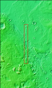
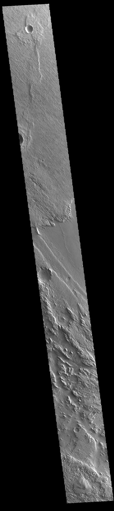
Context imageToday's VIS image shows part of Aeolis Planum. The surface in this region has been heavily eroded by wind action. In regions of poorly cemented surface materials it is possible to create large features due to just the action of the wind. The direction of the wind aligns with the ridges and valleys. The dominant wind direction in this region is southeast to northwest; however, other wind directions can occur within a localized region.
Orbit Number: 94819 Latitude: -1.42232 Longitude: 148.839 Instrument: VIS Captured: 2023-04-30 16:46
Please see the THEMIS Data Citation Note for details on crediting THEMIS images.
NASA's Jet Propulsion Laboratory manages the 2001 Mars Odyssey mission for NASA's Science Mission Directorate, Washington, D.C. The Thermal Emission Imaging System (THEMIS) was developed by Arizona State University, Tempe, in collaboration with Raytheon Santa Barbara Remote Sensing. The THEMIS investigation is led by Dr. Philip Christensen at Arizona State University. Lockheed Martin Astronautics, Denver, is the prime contractor for the Odyssey project, and developed and built the orbiter. Mission operations are conducted jointly from Lockheed Martin and from JPL, a division of the California Institute of Technology in Pasadena.