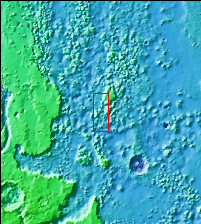
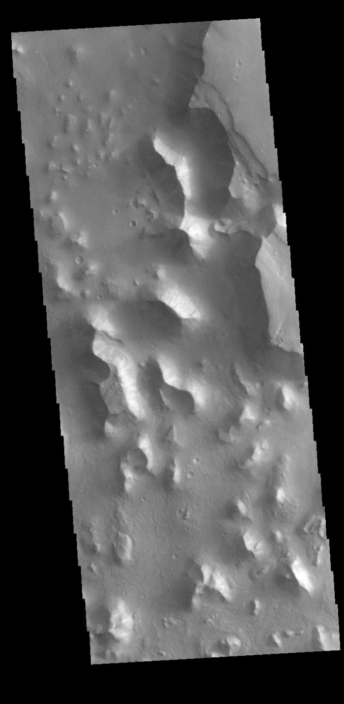
Context imageThis VIS image shows part of Chryse Chaos. Chaos forms from erosion of the surface into mesa features. With time the valleys expand creating the jumble of hills seen in the image. Chryse Chaos is located within the complex channel system that flows from Valles Marineris to empty into the lowlands of Chryse Planitia.
Orbit Number: 94813 Latitude: 11.4804 Longitude: 320.244 Instrument: VIS Captured: 2023-04-30 05:00
Please see the THEMIS Data Citation Note for details on crediting THEMIS images.
NASA's Jet Propulsion Laboratory manages the 2001 Mars Odyssey mission for NASA's Science Mission Directorate, Washington, D.C. The Thermal Emission Imaging System (THEMIS) was developed by Arizona State University, Tempe, in collaboration with Raytheon Santa Barbara Remote Sensing. The THEMIS investigation is led by Dr. Philip Christensen at Arizona State University. Lockheed Martin Astronautics, Denver, is the prime contractor for the Odyssey project, and developed and built the orbiter. Mission operations are conducted jointly from Lockheed Martin and from JPL, a division of the California Institute of Technology in Pasadena.