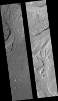
Map Projected Browse Image
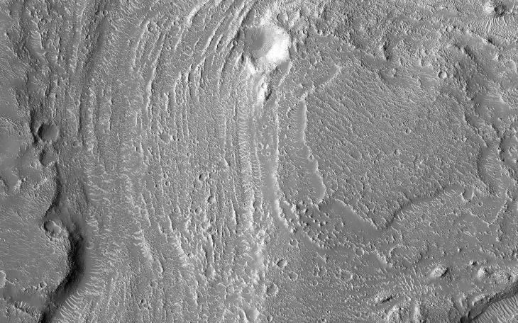
Click on image for larger versionGranicus Valles form a low-lying complex of channel systems located west of the volcano Elysium Mons. They are one of several larger systems known as outflow channels because the water source is from the subsurface. In this case, Granicus Valles emanate from a series of fractures on the western flank of Elysium Mons.
In this image, large, streamlined features and grooves have been carved by enormous water volumes into the floor of Granicus and point to the direction of flow towards the northwest. The floods of Granicus Valles are thought to have formed later in Mars history during the Amazonian epoch, several billion years ago.
The map is projected here at a scale of 50 centimeters (19.7 inches) per pixel. (The original image scale is 58.3 centimeters [23.0 inches] per pixel [with 2 x 2 binning]; objects on the order of 175 centimeters [68.9 inches] across are resolved.) North is up.
The University of Arizona, in Tucson, operates HiRISE, which was built by Ball Aerospace & Technologies Corp., in Boulder, Colorado. NASA's Jet Propulsion Laboratory, a division of Caltech in Pasadena, California, manages the Mars Reconnaissance Orbiter Project for NASA's Science Mission Directorate, Washington.
