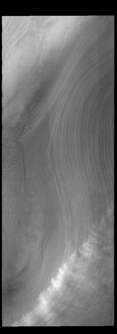
Context imageToday's VIS image shows a line of clouds over the south polar cap. These clouds are at an altitude above the surface where they are not directly interacting with the surface topography of the ice. During seasonal changes surface winds will sweep along the cap and create clouds where the winds dip into the troughs of the ice.
Orbit Number: 91751 Latitude: -86.915 Longitude: 182.233 Instrument: VIS Captured: 2022-08-21 01:31
Please see the THEMIS Data Citation Note for details on crediting THEMIS images.
NASA's Jet Propulsion Laboratory manages the 2001 Mars Odyssey mission for NASA's Science Mission Directorate, Washington, D.C. The Thermal Emission Imaging System (THEMIS) was developed by Arizona State University, Tempe, in collaboration with Raytheon Santa Barbara Remote Sensing. The THEMIS investigation is led by Dr. Philip Christensen at Arizona State University. Lockheed Martin Astronautics, Denver, is the prime contractor for the Odyssey project, and developed and built the orbiter. Mission operations are conducted jointly from Lockheed Martin and from JPL, a division of the California Institute of Technology in Pasadena.
