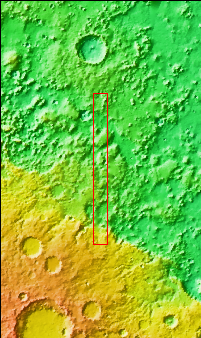
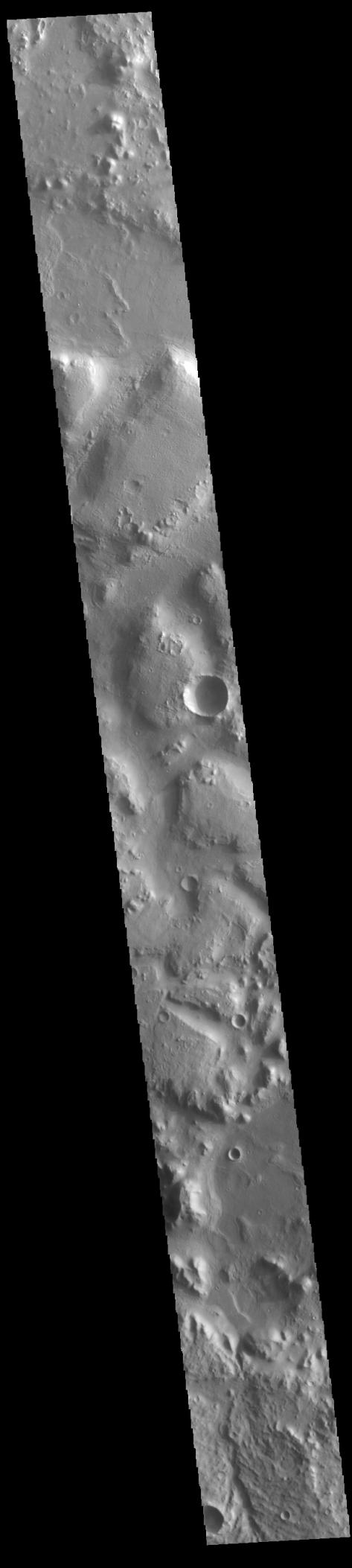
Context imageBetween the highlands of Terra Cimmeria and the low plains of Nepenthes Planum lies the rugged region called Nepenthes Mensae. Hills in this region vary in height and the surrounding surface can vary greatly in texture. The term mensae means a flat-topped prominence with cliff-like edges. Hepenthes Mensae is the largest mensae on Mars, covering 2176km (1352 miles) in length.
Orbit Number: 86459 Latitude: -0.0956089 Longitude: 129.864 Instrument: VIS Captured: 2021-06-11 08:10
Please see the THEMIS Data Citation Note for details on crediting THEMIS images.
NASA's Jet Propulsion Laboratory manages the 2001 Mars Odyssey mission for NASA's Science Mission Directorate, Washington, D.C. The Thermal Emission Imaging System (THEMIS) was developed by Arizona State University, Tempe, in collaboration with Raytheon Santa Barbara Remote Sensing. The THEMIS investigation is led by Dr. Philip Christensen at Arizona State University. Lockheed Martin Astronautics, Denver, is the prime contractor for the Odyssey project, and developed and built the orbiter. Mission operations are conducted jointly from Lockheed Martin and from JPL, a division of the California Institute of Technology in Pasadena.