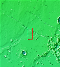
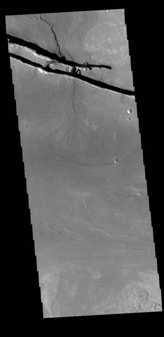
Context imageThe linear depressions at the top of the VIS image are some of the graben that comprise Cerberus Fossae. Graben form where extensional tectonic forces allows blocks of material to subside between paired faults. Cerberus Fossae is located in Elysium Planitia, southeast of the Elysium Mons volcanic complex. These graben were also the source of significant volcanic flows, creating the flow features to the top and the bottom of the graben. These flows are called Athabasca Valles. Water may have also been released from the graben, creating a complex history for channel forms in this region.
Orbit Number: 79108 Latitude: 10.0044 Longitude: 157.144 Instrument: VIS Captured: 2019-10-15 01:44
Please see the THEMIS Data Citation Note for details on crediting THEMIS images.
NASA's Jet Propulsion Laboratory manages the 2001 Mars Odyssey mission for NASA's Science Mission Directorate, Washington, D.C. The Thermal Emission Imaging System (THEMIS) was developed by Arizona State University, Tempe, in collaboration with Raytheon Santa Barbara Remote Sensing. The THEMIS investigation is led by Dr. Philip Christensen at Arizona State University. Lockheed Martin Astronautics, Denver, is the prime contractor for the Odyssey project, and developed and built the orbiter. Mission operations are conducted jointly from Lockheed Martin and from JPL, a division of the California Institute of Technology in Pasadena.