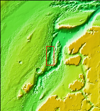
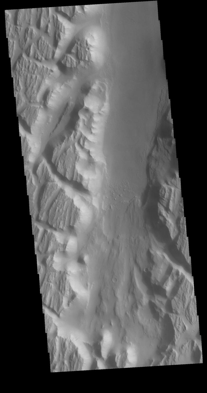
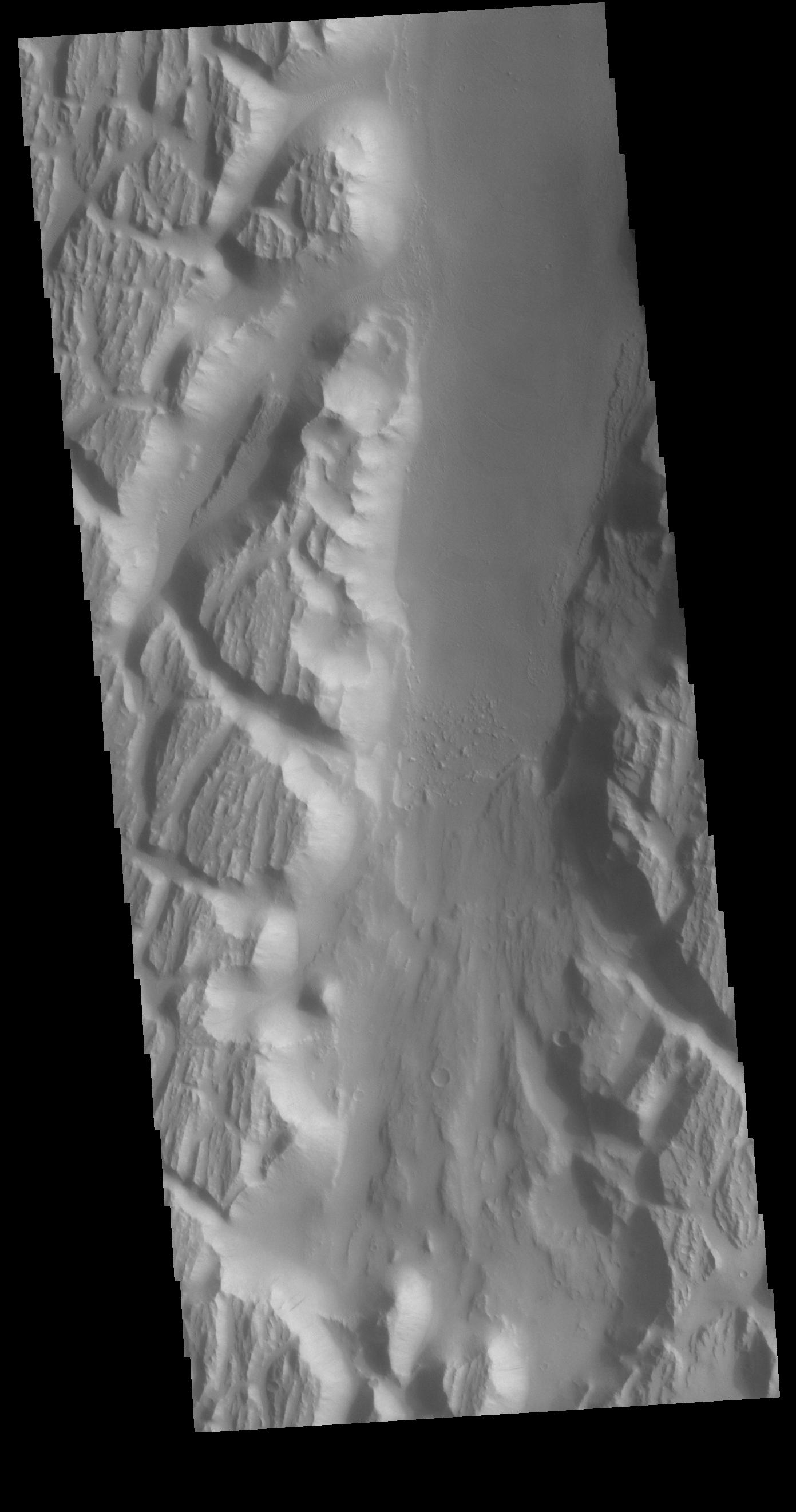
Context imageThis VIS image shows a portion of Kasei Valles. In the region of this image Kasei Valles is flowing northward from Vallis Marineris. This image contains both fluvial features and tectonic features. The linear features running across the image from the lower right to the upper left are fractures created by tectonic forces. The ones running vertically were created by fluid flow. Kasei Valles is one of the largest outflow channels on Mars and catastrophic flooding carved this massive channel.
Orbit Number: 79091 Latitude: 19.5912 Longitude: 286.26 Instrument: VIS Captured: 2019-10-13 16:12
Please see the THEMIS Data Citation Note for details on crediting THEMIS images.
NASA's Jet Propulsion Laboratory manages the 2001 Mars Odyssey mission for NASA's Science Mission Directorate, Washington, D.C. The Thermal Emission Imaging System (THEMIS) was developed by Arizona State University, Tempe, in collaboration with Raytheon Santa Barbara Remote Sensing. The THEMIS investigation is led by Dr. Philip Christensen at Arizona State University. Lockheed Martin Astronautics, Denver, is the prime contractor for the Odyssey project, and developed and built the orbiter. Mission operations are conducted jointly from Lockheed Martin and from JPL, a division of the California Institute of Technology in Pasadena.