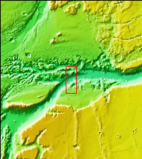
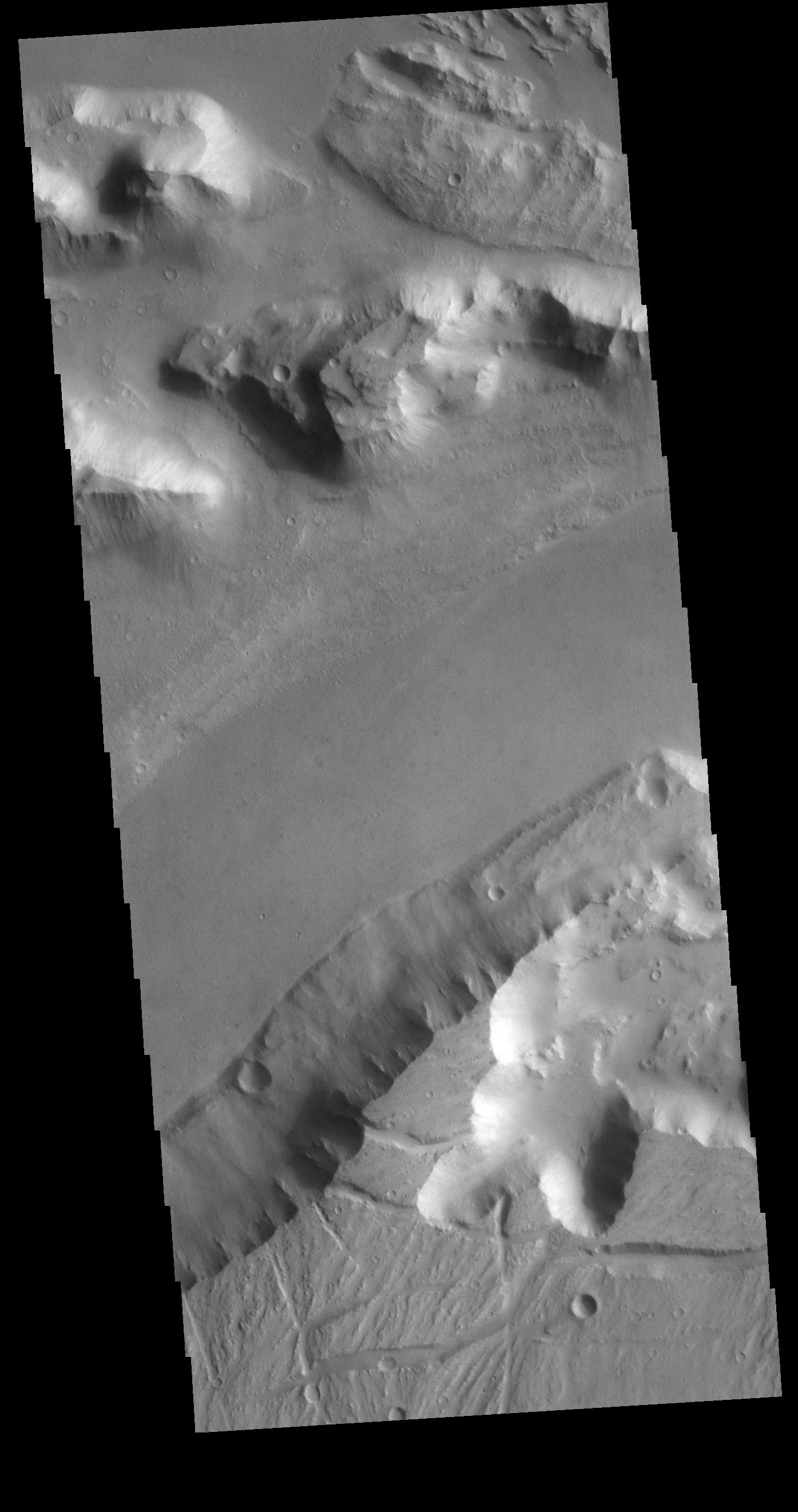
Context imageToday's VIS image shows the region where the northward flow of Kasei Valles turns to the east having split into two large channels. This image is located in the southern branch of Kasei Valles, called the Kasei Valles Canyon. Arising from Vallis Marineris and ending in Chryse Planitia, the valles is over 1,580 km long (982 miles), making Kasei Valles one of the largest outflow channels on Mars. [The US/Canadian border from eastern Montana to western Idaho is ~ 972 miles in length.]
Orbit Number: 79041 Latitude: 21.9093 Longitude: 288.446 Instrument: VIS Captured: 2019-10-09 13:24
Please see the THEMIS Data Citation Note for details on crediting THEMIS images.
NASA's Jet Propulsion Laboratory manages the 2001 Mars Odyssey mission for NASA's Science Mission Directorate, Washington, D.C. The Thermal Emission Imaging System (THEMIS) was developed by Arizona State University, Tempe, in collaboration with Raytheon Santa Barbara Remote Sensing. The THEMIS investigation is led by Dr. Philip Christensen at Arizona State University. Lockheed Martin Astronautics, Denver, is the prime contractor for the Odyssey project, and developed and built the orbiter. Mission operations are conducted jointly from Lockheed Martin and from JPL, a division of the California Institute of Technology in Pasadena.
