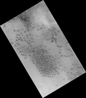
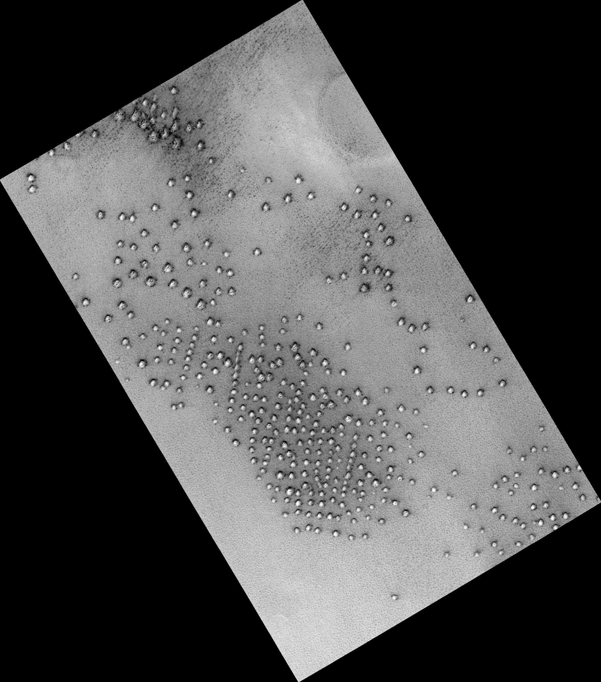
Map Projected Browse Image
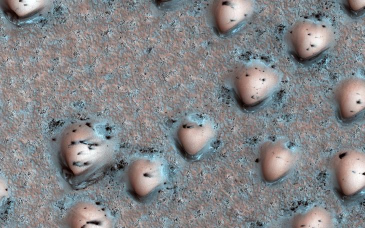
Click on image for larger versionIt's spring in the Northern Hemisphere of Mars, and the polar region is still blanketed by seasonal carbon dioxide frost (dry ice). This image shows an area near the sand sea (called an "erg") that is surrounding the water ice-rich layered deposits.
The many bumps are sand dunes less than 100 meters across that are mostly covered by seasonal frost, appearing in a manner that looks artificial but is a natural consequence of the wind patterns in this region. The smaller, darker spots are places where the seasonal frost has sublimed away, exposing the dark surface below. The combination of these features makes for an unearthly scene!
The map is projected here at a scale of 25 centimeters (9.8 inches) per pixel. (The original image scale is 31.8 centimeters [12.5 inches] per pixel [with 1 x 1 binning]; objects on the order of 95 centimeters [37.4 inches] across are resolved.) North is up.
The University of Arizona, in Tucson, operates HiRISE, which was built by Ball Aerospace & Technologies Corp., in Boulder, Colorado. NASA's Jet Propulsion Laboratory, a division of Caltech in Pasadena, California, manages the Mars Reconnaissance Orbiter Project for NASA's Science Mission Directorate, Washington.