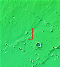
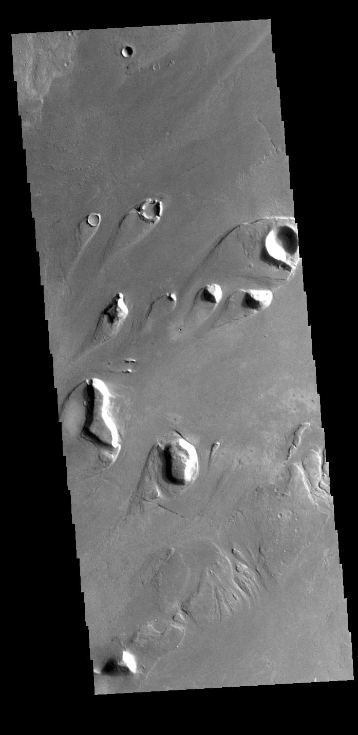
Context imageThis VIS image shows part of Athabasca Valles. The tear shaped features in the image are called streamlined islands. They are formed by the erosion of pre-existing positive topographic features that deflect the fluid around them. The narrow "tail" of the island points downstream, in this case from the upper right to the lower left.
Orbit Number: 78846 Latitude: 9.30566 Longitude: 156.14 Instrument: VIS Captured: 2019-09-23 11:57
Please see the THEMIS Data Citation Note for details on crediting THEMIS images.
NASA's Jet Propulsion Laboratory manages the 2001 Mars Odyssey mission for NASA's Science Mission Directorate, Washington, D.C. The Thermal Emission Imaging System (THEMIS) was developed by Arizona State University, Tempe, in collaboration with Raytheon Santa Barbara Remote Sensing. The THEMIS investigation is led by Dr. Philip Christensen at Arizona State University. Lockheed Martin Astronautics, Denver, is the prime contractor for the Odyssey project, and developed and built the orbiter. Mission operations are conducted jointly from Lockheed Martin and from JPL, a division of the California Institute of Technology in Pasadena.