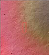
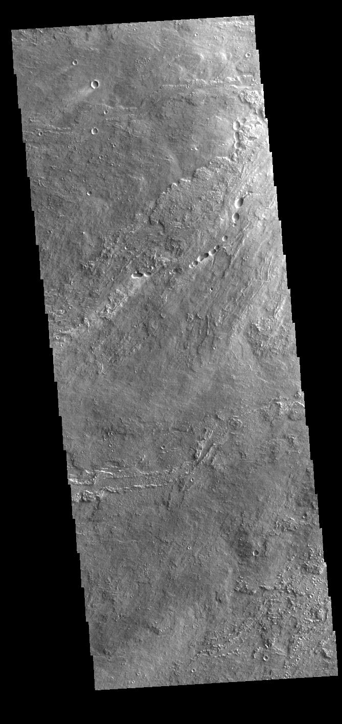
Context imageToday's VIS image shows a portion of Daedalia Planum. Daedalia Planum is a huge lava flow field that originates at Arsia Mons, the southermost of the three large aligned Tharsis region volcanoes. Individual lava flows can have lengths up to almost 180 km (111 miles). The longest Hawaiian lava flow is only 51 km (31 miles). The total area of Daedalia Planum is 2.9 million square km — more than four times the size of Texas.
Orbit Number: 78207 Latitude: -14.2806 Longitude: 235.365 Instrument: VIS Captured: 2019-08-01 20:58
Please see the THEMIS Data Citation Note for details on crediting THEMIS images.
NASA's Jet Propulsion Laboratory manages the 2001 Mars Odyssey mission for NASA's Science Mission Directorate, Washington, D.C. The Thermal Emission Imaging System (THEMIS) was developed by Arizona State University, Tempe, in collaboration with Raytheon Santa Barbara Remote Sensing. The THEMIS investigation is led by Dr. Philip Christensen at Arizona State University. Lockheed Martin Astronautics, Denver, is the prime contractor for the Odyssey project, and developed and built the orbiter. Mission operations are conducted jointly from Lockheed Martin and from JPL, a division of the California Institute of Technology in Pasadena.
