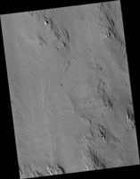
Map Projected Browse Image
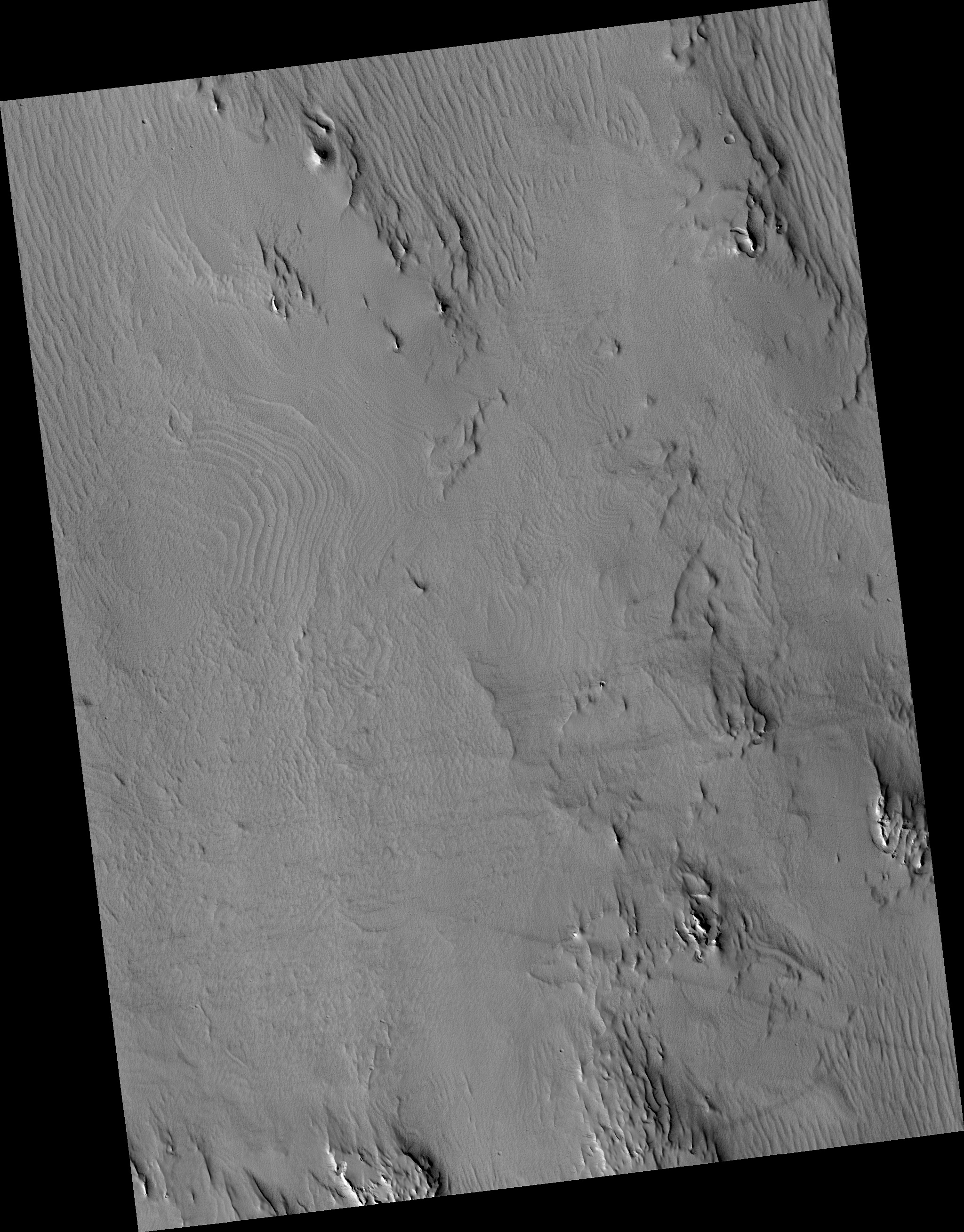
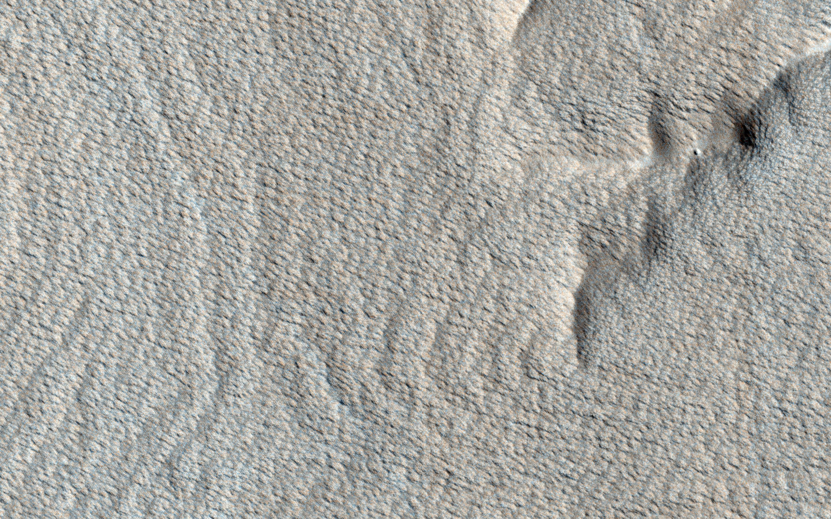
Click on image for larger versionThe surface of this image looks wavy, like that of the sea. These wave shapes are the result of erosion: the removal of material, which has been ongoing for millions, if not billions, of years. This erosion is likely performed by the action of wind and has revealed layered rock that was deposited in this area in the ancient past.
The layers were deposited very regularly one on top of another and the erosion has cut across them — sometimes shallowly, sometimes more deeply — to create these giant undulations. More resistant layers protrude further, making them the visible crests of the waves.
The map is projected here at a scale of 25 centimeters (9.8 inches) per pixel. (The original image scale is 26.7 centimeters [10.5 inches] per pixel [with 1 x 1 binning]; objects on the order of 80 centimeters [31.5 inches] across are resolved.) North is up.
This is a stereo pair with ESP_057303_1770.
The University of Arizona, in Tucson, operates HiRISE, which was built by Ball Aerospace & Technologies Corp., in Boulder, Colorado. NASA's Jet Propulsion Laboratory, a division of Caltech in Pasadena, California, manages the Mars Reconnaissance Orbiter Project for NASA's Science Mission Directorate, Washington.
