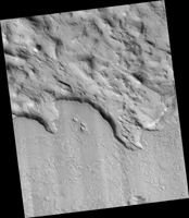
Map Projected Browse Image
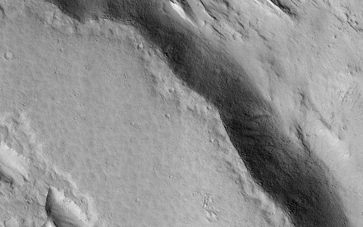
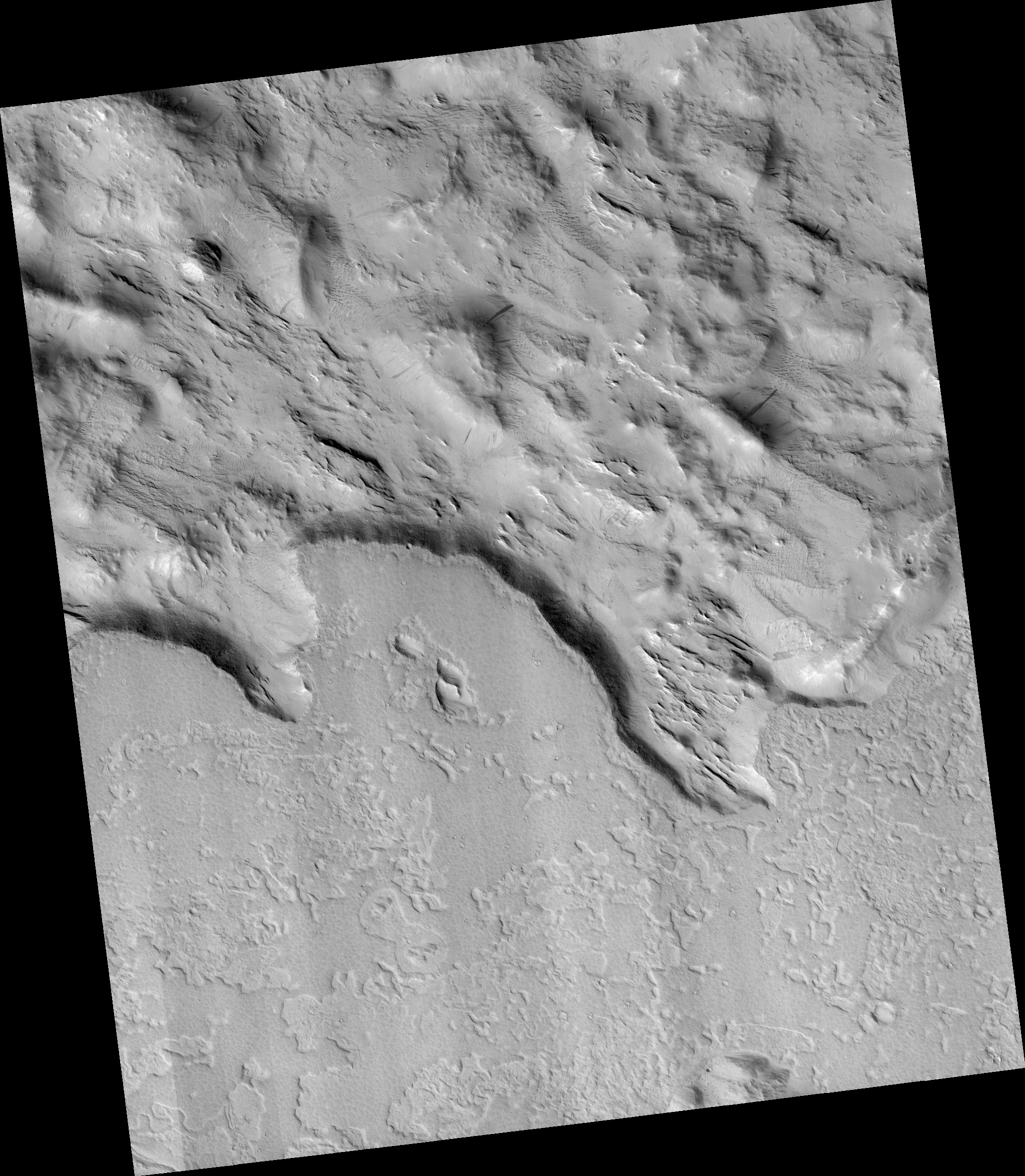
Click on image for larger versionThis image demonstrates the curious phenomenon called "topographic inversion." The southern half of the picture is covered by a well-preserved lava flow. The flow stops just at the brink of descending a steep slope. Lava isn't afraid of falling, so what happened here?
It is likely that the terrain to the north was once higher, and stopped the lava from flowing any further. Once the lava cooled, it protected the ground beneath it, while the softer rocks to the north continued to erode, "inverting" the topography so that what was once low-lying ground is now the top of a mesa.
The map is projected here at a scale of 50 centimeters (19.7 inches) per pixel. (The original image scale is 56.0 centimeters [22.0 inches] per pixel [with 2 x 2 binning]; objects on the order of 168 centimeters [66.1 inches] across are resolved.) North is up.
The University of Arizona, in Tucson, operates HiRISE, which was built by Ball Aerospace & Technologies Corp., in Boulder, Colorado. NASA's Jet Propulsion Laboratory, a division of Caltech in Pasadena, California, manages the Mars Reconnaissance Orbiter Project for NASA's Science Mission Directorate, Washington.