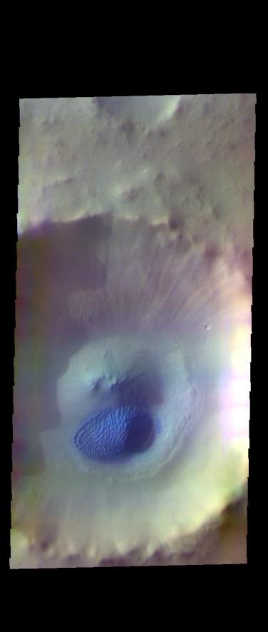
Context imageToday's false color image shows an unnamed crater in Acidalia Planitia. The dark blue feature on the crater floor is a mound of sand. The sand is tall enough to cast a shadow, with the sun is coming from the left (west). The texture on the surface of the sand are dune features created by wind action.
The THEMIS VIS camera contains 5 filters. The data from different filters can be combined in multiple ways to create a false color image. These false color images may reveal subtle variations of the surface not easily identified in a single band image.
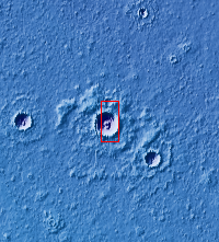
Orbit Number: 63180 Latitude: 61.4065 Longitude: 311.579 Instrument: VIS Captured: 2016-03-12 01:24
Please see the THEMIS Data Citation Note for details on crediting THEMIS images.
NASA's Jet Propulsion Laboratory manages the 2001 Mars Odyssey mission for NASA's Science Mission Directorate, Washington, D.C. The Thermal Emission Imaging System (THEMIS) was developed by Arizona State University, Tempe, in collaboration with Raytheon Santa Barbara Remote Sensing. The THEMIS investigation is led by Dr. Philip Christensen at Arizona State University. Lockheed Martin Astronautics, Denver, is the prime contractor for the Odyssey project, and developed and built the orbiter. Mission operations are conducted jointly from Lockheed Martin and from JPL, a division of the California Institute of Technology in Pasadena.