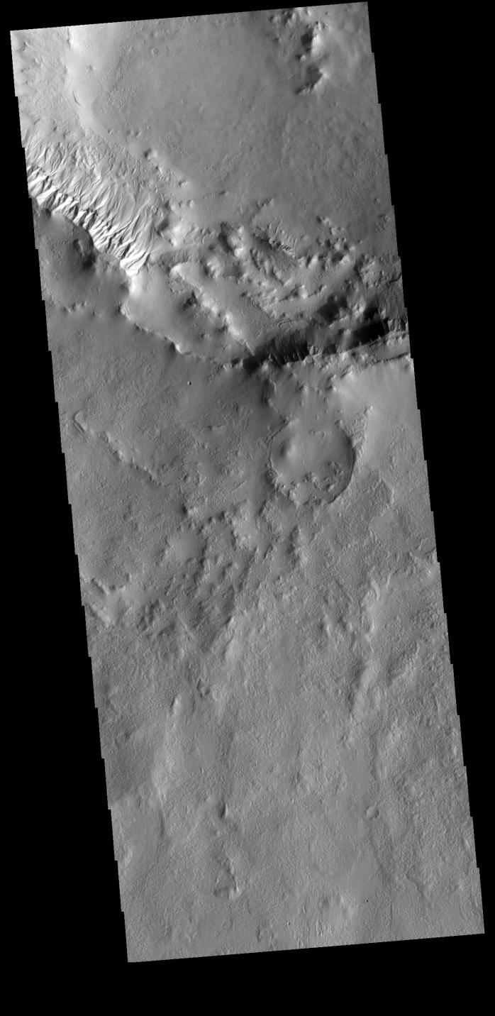
Context imageThis VIS image shows part of the rim of an unnamed crater in Terra Cimmeria. A group of channels dissect the rim near to upper left of the image. These channels are called gullies due to being on a steep slope rather than a flat river plain. With careful examination, it is possible to see a boundary layer between the upper incised gully and a lower deposition region. The boundary marks a change in slope, the steep upper portion supports fast moving fluid that carves into the rim eroding materials. The change to a flatter slope causes the fluid to slow down and as it slows the materials carried by the fluid a deposited.
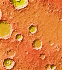
Orbit Number: 75452 Latitude: -47.6995 Longitude: 170.871 Instrument: VIS Captured: 2018-12-17 23:46
Please see the THEMIS Data Citation Note for details on crediting THEMIS images.
NASA's Jet Propulsion Laboratory manages the 2001 Mars Odyssey mission for NASA's Science Mission Directorate, Washington, D.C. The Thermal Emission Imaging System (THEMIS) was developed by Arizona State University, Tempe, in collaboration with Raytheon Santa Barbara Remote Sensing. The THEMIS investigation is led by Dr. Philip Christensen at Arizona State University. Lockheed Martin Astronautics, Denver, is the prime contractor for the Odyssey project, and developed and built the orbiter. Mission operations are conducted jointly from Lockheed Martin and from JPL, a division of the California Institute of Technology in Pasadena.