
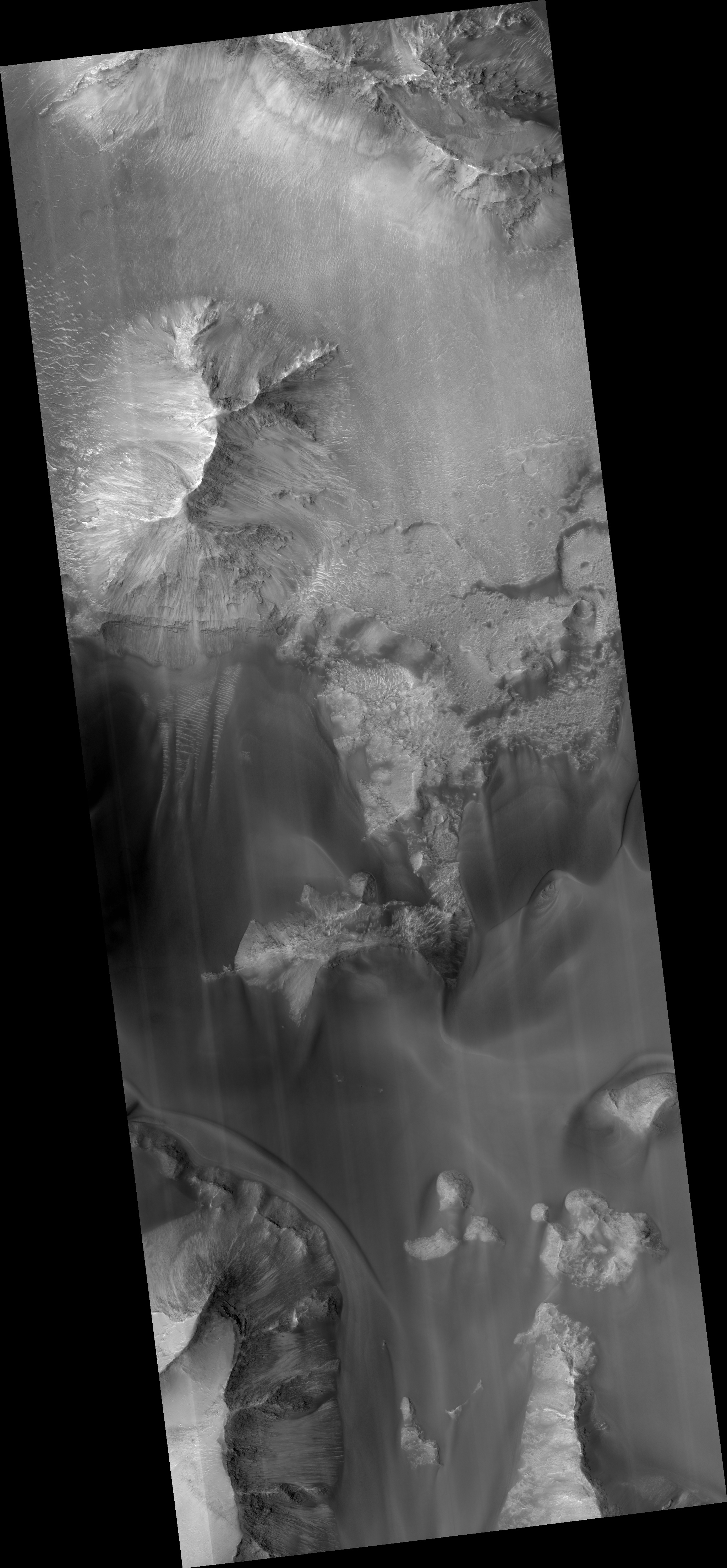
Map Projected Browse Image
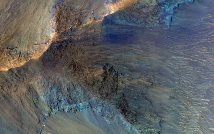
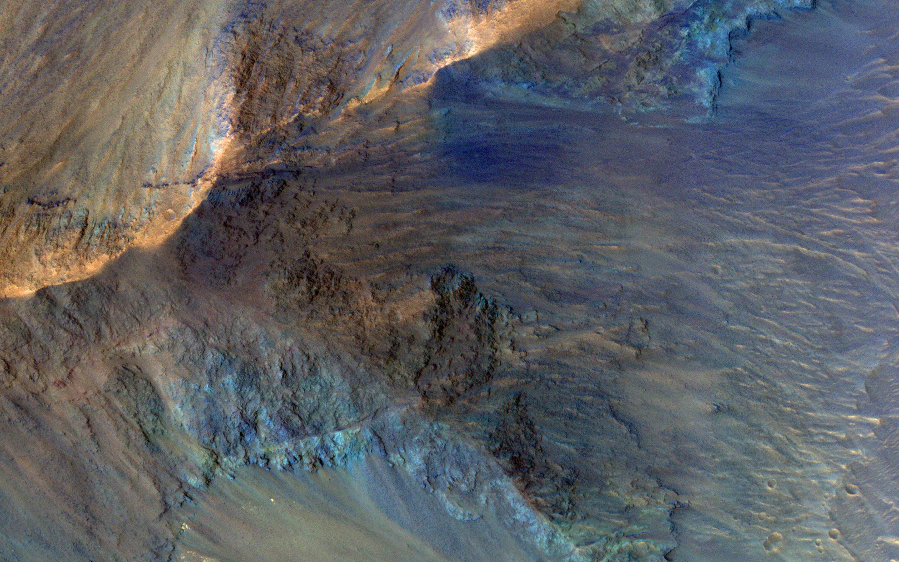
Click on image for larger versionThis image captures some of the geologic diversity of Mars. There are hills of ancient terrains on the floor of Juventae Chasma, surrounded by younger sediments, including dark sand sheets and dunes that are likely active today.
The hills are heavily eroded by landslides, forming gullies in some places. Diverse colors represent unaltered volcanic minerals (blue and green) and altered minerals (brighter and reddish colors).
The map is projected here at a scale of 50 centimeters (19.7 inches) per pixel. (The original image scale is 53.7 centimeters [21.1 inches] per pixel [with 2 x 2 binning]; objects on the order of 161 centimeters [63.4 inches] across are resolved.) North is up.
The University of Arizona, in Tucson, operates HiRISE, which was built by Ball Aerospace & Technologies Corp., in Boulder, Colorado. NASA's Jet Propulsion Laboratory, a division of Caltech in Pasadena, California, manages the Mars Reconnaissance Orbiter Project for NASA's Science Mission Directorate, Washington.