
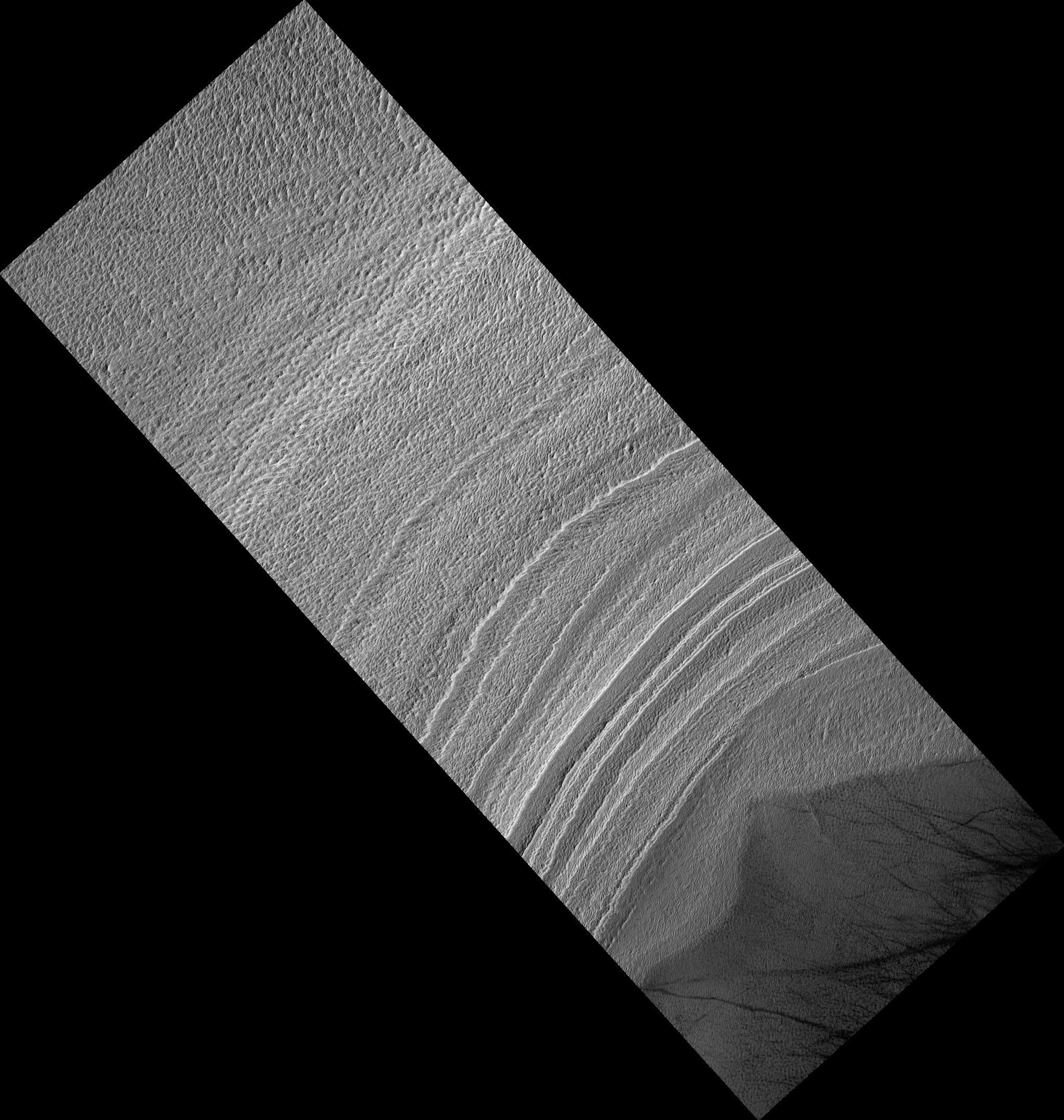
Map Projected Browse Image
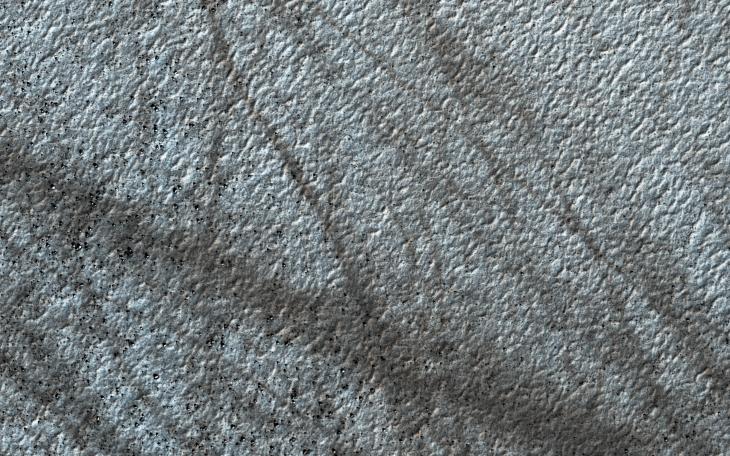
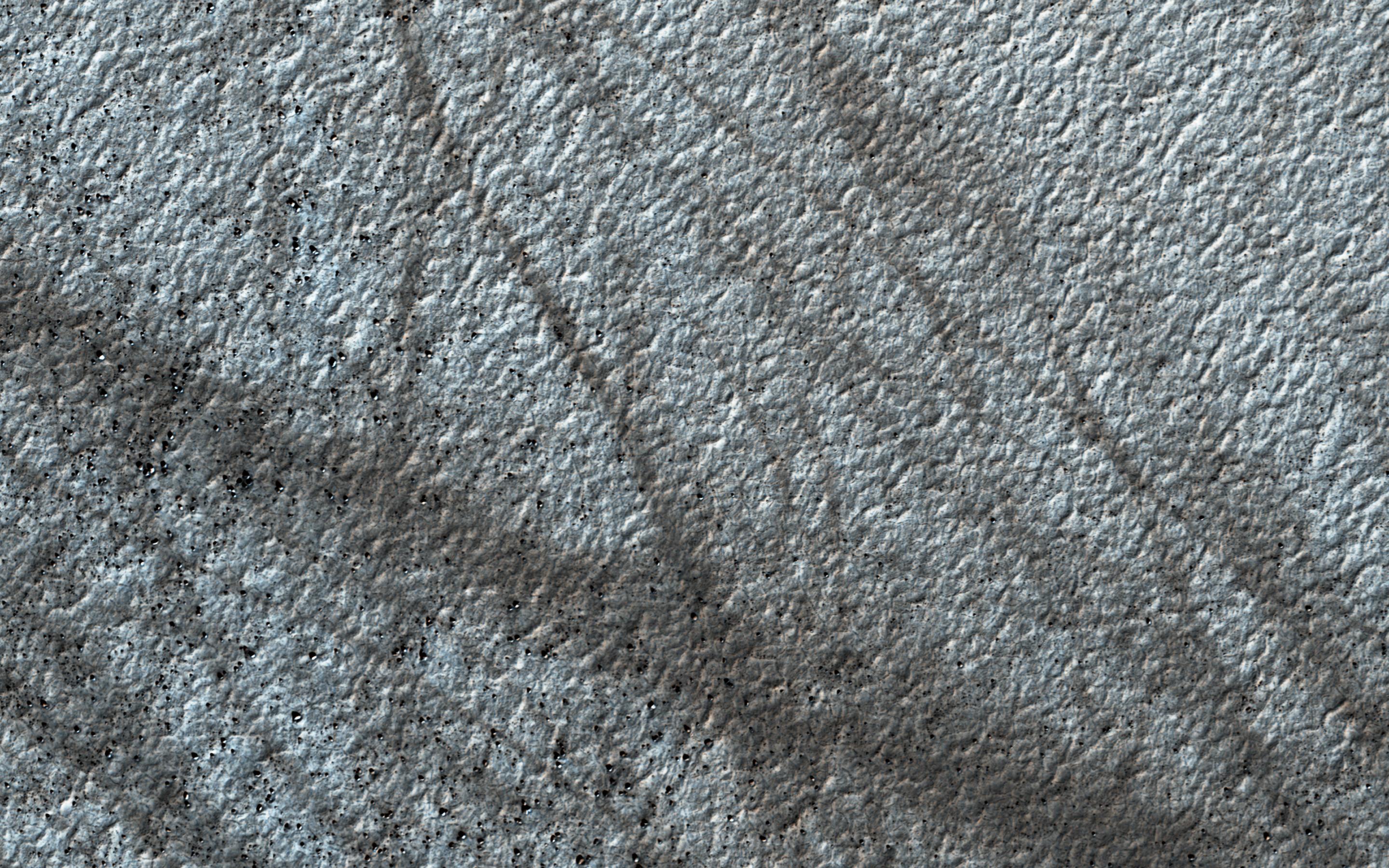
Click on image for larger versionDust devils on Mars often create long, dark markings where they pull a thin coat of dust off the surface. This image shows a cluster of these tracks on the flat ground below the south polar layered deposits, but none on the layers themselves.
This tells us that either dust devils do not cross the layers, or they do not leave a track there. There are several possible reasons for this. For instance, the dust might be thick enough that the vortex of the dust devil doesn't expose darker material from underneath the surface.
The map is projected here at a scale of 50 centimeters (19.7 inches) per pixel. [The original image scale is 49.9 centimeters (19.6 inches) per pixel (with 2 x 2 binning); objects on the order of 150 centimeters (59.0 inches) across are resolved.] North is up.
The University of Arizona, Tucson, operates HiRISE, which was built by Ball Aerospace & Technologies Corp., Boulder, Colorado. NASA's Jet Propulsion Laboratory, a division of Caltech in Pasadena, California, manages the Mars Reconnaissance Orbiter Project for NASA's Science Mission Directorate, Washington.