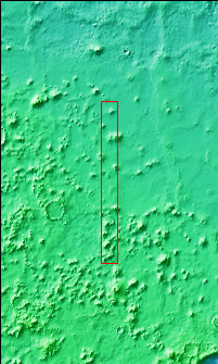
Context imageThe hills in this VIS image are part of Protonilus Mensae. These hills, located between the relative highlands of Terra Sabaea and the lowlands of Vastitas Borealis, most likely formed by the erosion of Terra Sabaea surface. Several flow like features originating within the hills may have been created by glacial action.
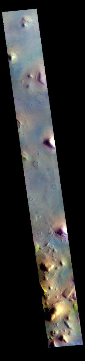
The THEMIS VIS camera contains 5 filters. The data from different filters can be combined in multiple ways to create a false color image. These false color images may reveal subtle variations of the surface not easily identified in a single band image.
Orbit Number: 60999 Latitude: 45.6629 Longitude: 58.9834 Instrument: VIS Captured: 2015-09-14 10:08
Please see the THEMIS Data Citation Note for details on crediting THEMIS images.
NASA's Jet Propulsion Laboratory manages the 2001 Mars Odyssey mission for NASA's Science Mission Directorate, Washington, D.C. The Thermal Emission Imaging System (THEMIS) was developed by Arizona State University, Tempe, in collaboration with Raytheon Santa Barbara Remote Sensing. The THEMIS investigation is led by Dr. Philip Christensen at Arizona State University. Lockheed Martin Astronautics, Denver, is the prime contractor for the Odyssey project, and developed and built the orbiter. Mission operations are conducted jointly from Lockheed Martin and from JPL, a division of the California Institute of Technology in Pasadena.