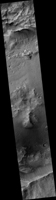
Map Projected Browse Image
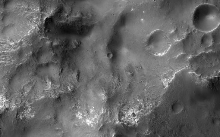
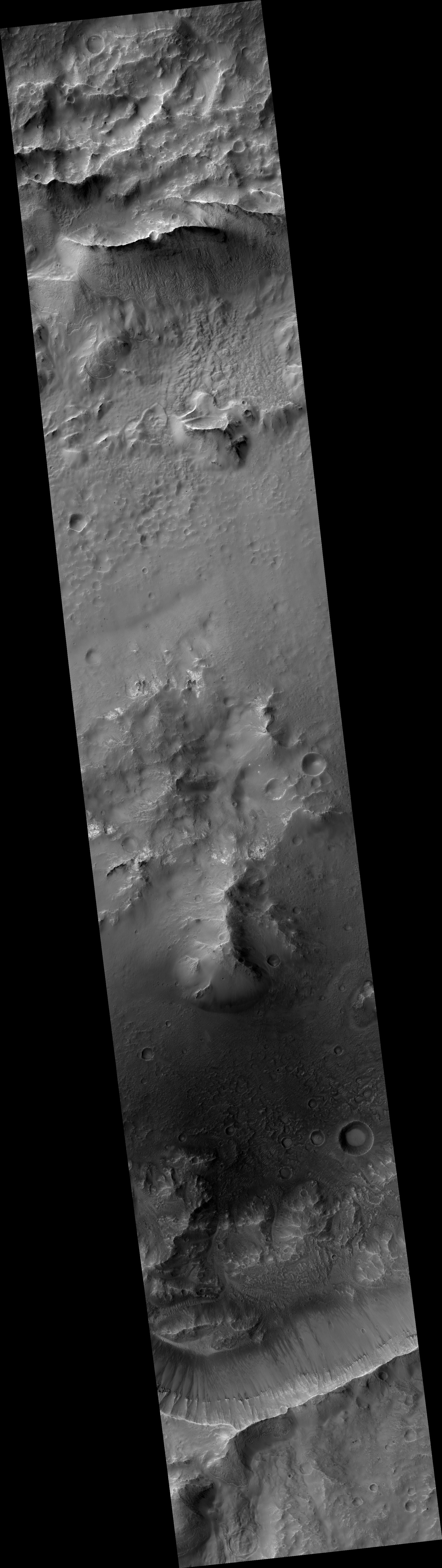
Click on image for larger versionThis image shows a cross-section of a complex crater in Terra Cimmeria.
Starting in the center, we see a series of peaks with exposed bedrock. These peaks formed during the impact event when material that was originally several kilometers below the surface was uplifted and exposed. The impact also melted the rocks. This eventually cooled, forming the pitted materials that coat the crater floor around the uplift.
The rim of the crater was unstable, and collapsed inwards to form terraces, and we see additional pitted materials between the terraces and the rim. Just outside the crater we can see dark-toned material that was excavated and thrown out after the impact.
The map is projected here at a scale of 50 centimeters (19.7 inches) per pixel. [The original image scale is 51.4 centimeters (20.2 inches) per pixel (with 2 x 2 binning); objects on the order of 154 centimeters (60.6 inches) across are resolved.] North is up.
The University of Arizona, Tucson, operates HiRISE, which was built by Ball Aerospace & Technologies Corp., Boulder, Colorado. NASA's Jet Propulsion Laboratory, a division of Caltech in Pasadena, California, manages the Mars Reconnaissance Orbiter Project for NASA's Science Mission Directorate, Washington.