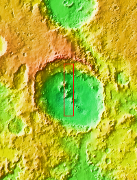
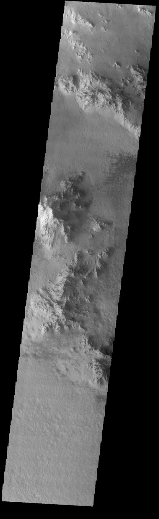
Context imageToday's VIS image shows part of the floor of Hale Crater and the elongate axis of the central peak mountains. Hale Crater is an example of an oblique impact crater. The mountain chain trends from the southeast towards the northwest, increasing in height towards the northwest. The incoming meteor struck the surface along this trend, forming an oval crater and displacing the impact energy forward to create the central mountain range. Hale Crater is located near the northern part of Argye Plainitia.
Orbit Number: 74954 Latitude: -35.5134 Longitude: 323.598 Instrument: VIS Captured: 2018-11-06 22:53
Please see the THEMIS Data Citation Note for details on crediting THEMIS images.
NASA's Jet Propulsion Laboratory manages the 2001 Mars Odyssey mission for NASA's Science Mission Directorate, Washington, D.C. The Thermal Emission Imaging System (THEMIS) was developed by Arizona State University, Tempe, in collaboration with Raytheon Santa Barbara Remote Sensing. The THEMIS investigation is led by Dr. Philip Christensen at Arizona State University. Lockheed Martin Astronautics, Denver, is the prime contractor for the Odyssey project, and developed and built the orbiter. Mission operations are conducted jointly from Lockheed Martin and from JPL, a division of the California Institute of Technology in Pasadena.