Map Projected Browse Image
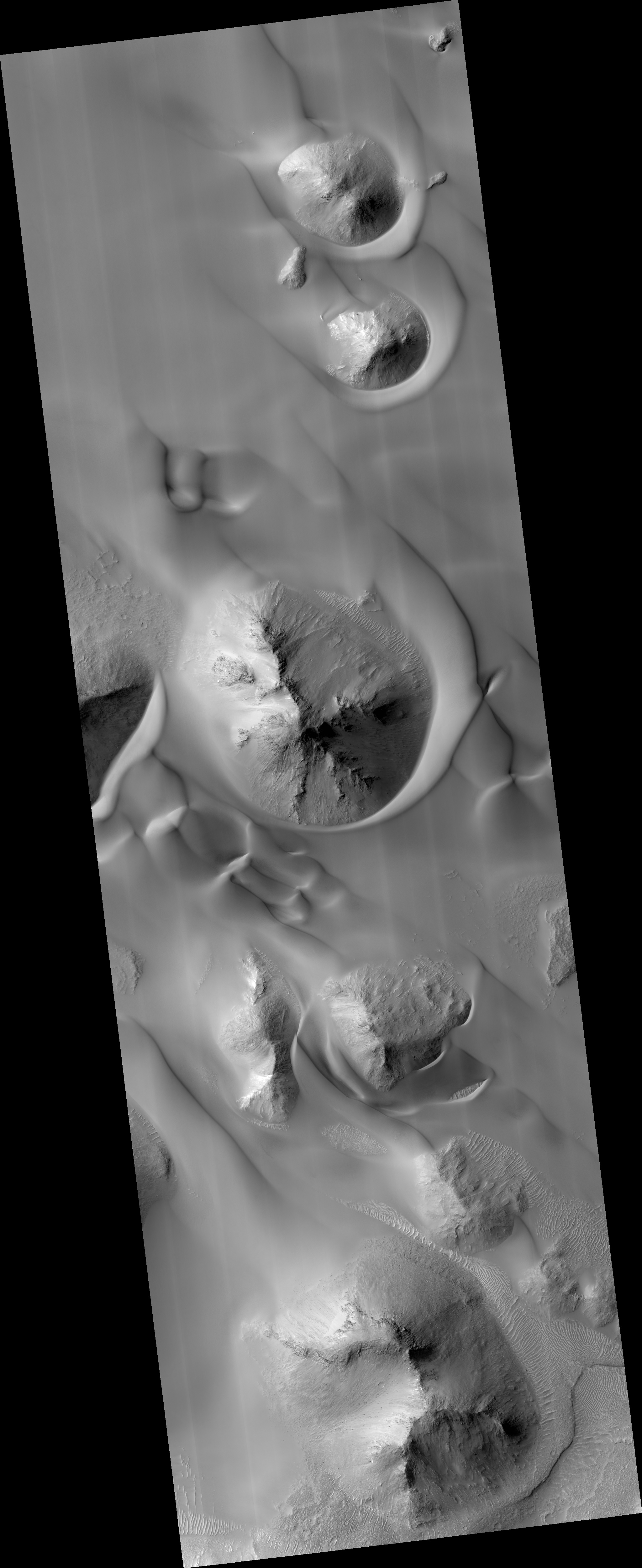
Click on image for larger versionNASA's Mars Reconnaissance Orbiter (MRO) observed this image of Ganges Chasma in the northeast portion of Valles Marineris, and opens into outflow channels that flowed to the north.
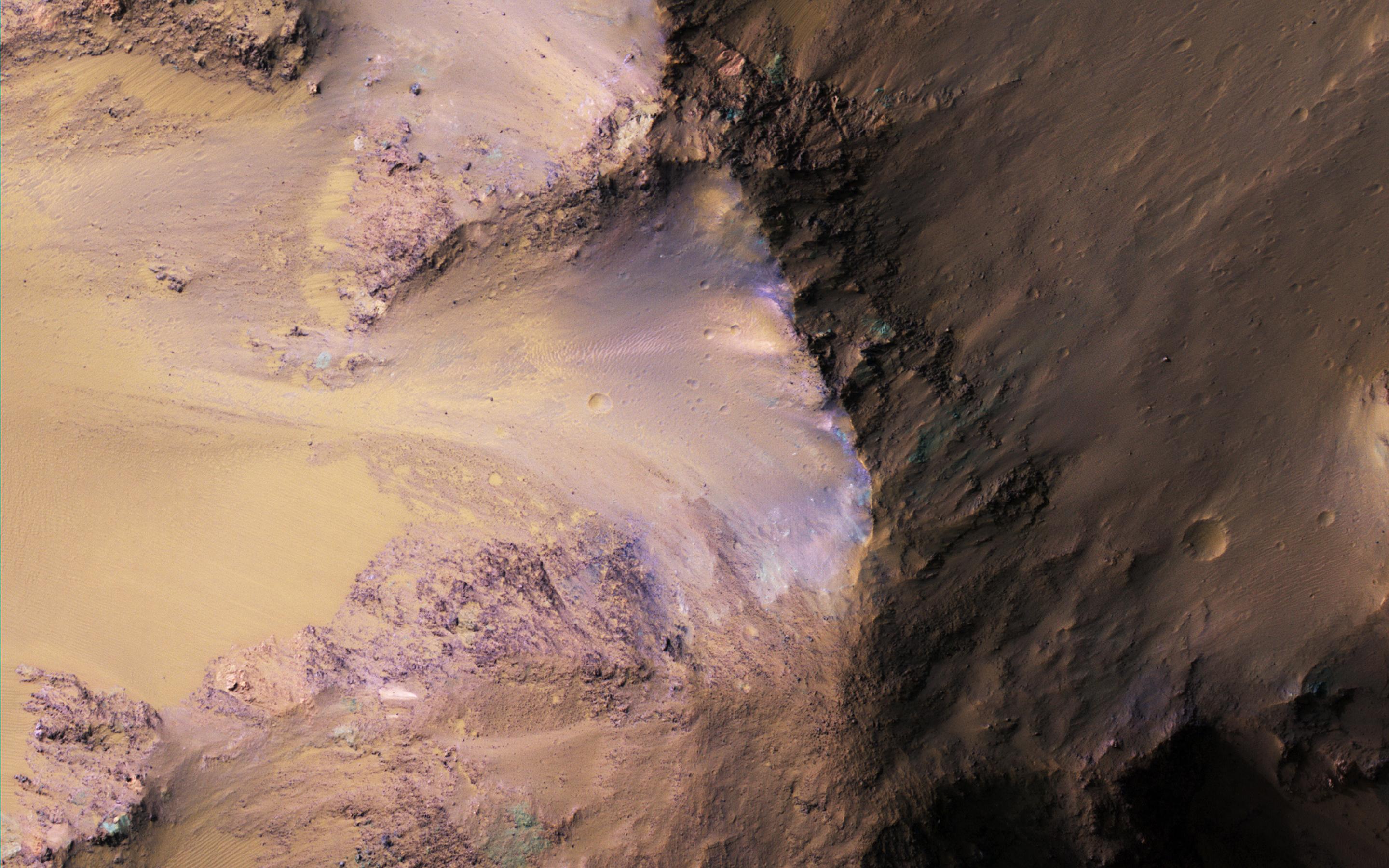
Scattered hills on the canyon floor may be remnants of chaos terrain that formed from collapse of the canyon. Some of the bedrock has diverse colors as we see in the enhanced-color (false color) cutout.
The map is projected here at a scale of 50 centimeters (19.7 inches) per pixel. [The original image scale is 53.5 centimeters (21.1 inches) per pixel (with 2 x 2 binning); objects on the order of 160 centimeters (62.0 inches) across are resolved.] North is up.
The University of Arizona, Tucson, operates HiRISE, which was built by Ball Aerospace & Technologies Corp., Boulder, Colorado. NASA's Jet Propulsion Laboratory, a division of Caltech in Pasadena, California, manages the Mars Reconnaissance Orbiter Project for NASA's Science Mission Directorate, Washington.
