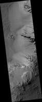
Map Projected Browse Image
Click on image for larger version
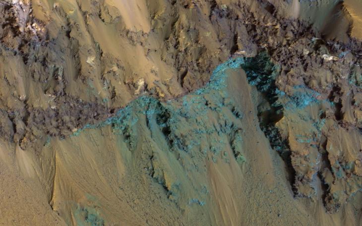
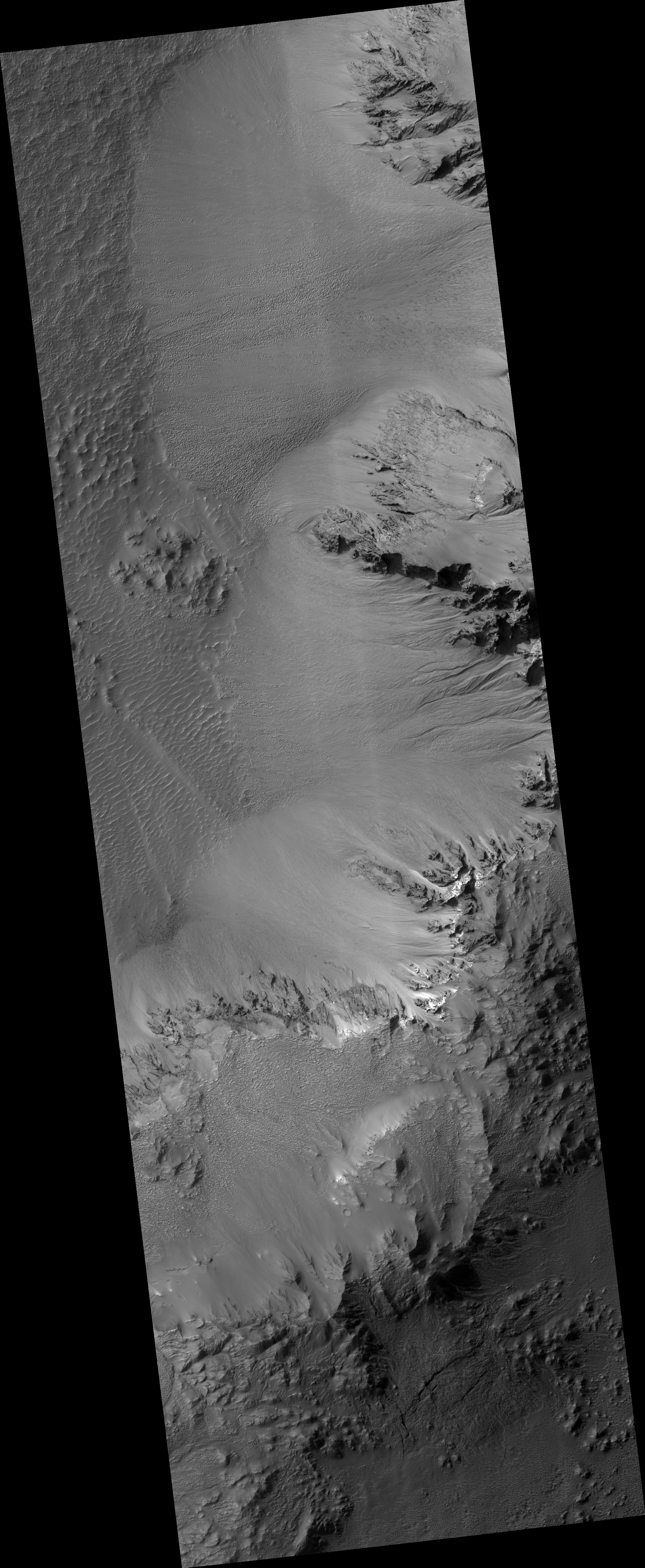
This image from NASA's Mars Reconnaissance Orbiter (MRO) shows Hale Crater, a large impact crater (more than 100 kilometers) with a suite of interesting features such as active gullies, active recurring slope lineae, and extensive icy ejecta flows. There are also exposed diverse (colorful) bedrock units.
The map project browse image above is projected at a scale of 50 centimeters (19.7 inches) per pixel. [The original image scale is 51.2 centimeters (20.2 inches) per pixel (with 2 x 2 binning); objects on the order of 154 centimeters (60.6 inches) across are resolved.] North is up.
The University of Arizona, Tucson, operates HiRISE, which was built by Ball Aerospace & Technologies Corp., Boulder, Colorado. NASA's Jet Propulsion Laboratory, a division of Caltech in Pasadena, California, manages the Mars Reconnaissance Orbiter Project for NASA's Science Mission Directorate, Washington.