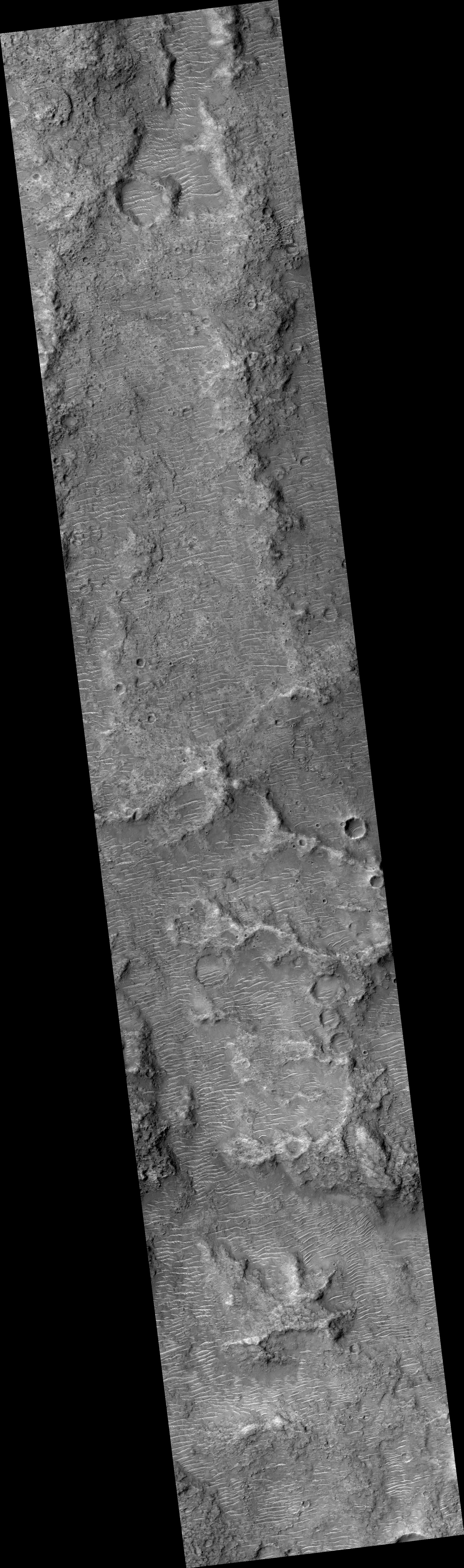
Map Projected Browse Image
Click on image for larger versionThe map is projected here at a scale of 50 centimeters (19.7 inches) per pixel.
[The original image scale is 52.1 centimeters (20.5 inches) per pixel (with 2 x 2 binning); objects on the order of 156 centimeters (61.4 inches) across are resolved.] North is up. |
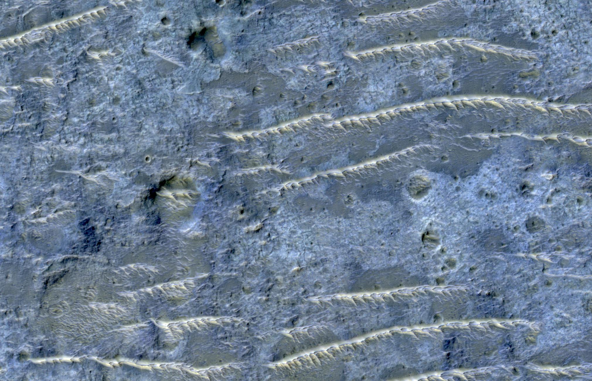
This enhanced color image from NASA's Mars Reconnaissance Orbiter (MRO) shows the heavily channeled and ancient southern highlands of Mars. The elongated and jagged features are windblown dunes, perhaps hardened and eroded.
The University of Arizona, Tucson, operates HiRISE, which was built by Ball Aerospace & Technologies Corp., Boulder, Colorado. NASA's Jet Propulsion Laboratory, a division of Caltech in Pasadena, California, manages the Mars Reconnaissance Orbiter Project for NASA's Science Mission Directorate, Washington.
