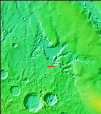
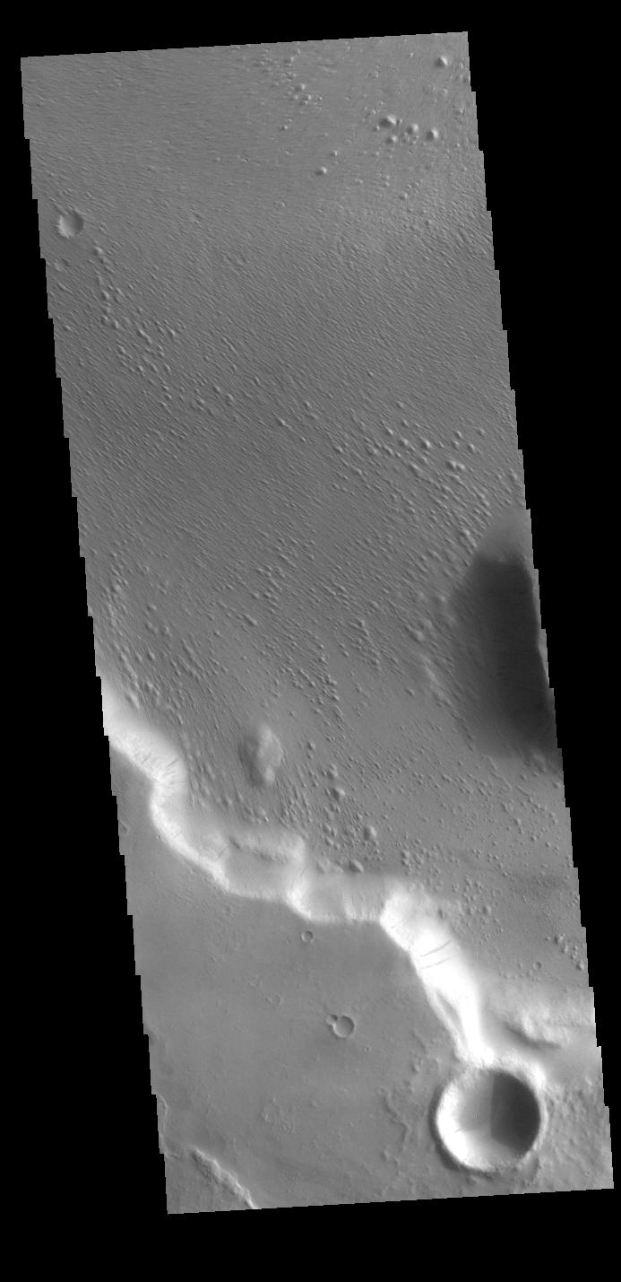
Context image This VIS image is located in Medusae Fossae. Along the cliffside several dark streaks are visible. It is thought that these streaks mark the location where downslope movement of material has removed some of the dust that coats every surface of Mars, and revealed the rocky surface beneath the dust. The surface of the rest of the image appears to have been modified by wind erosion, which has created the aligned small hills and ridges.
Orbit Number: 71135 Latitude: -5.43154 Longitude: 197.71 Instrument: VIS Captured: 2017-12-27 09:27
Please see the THEMIS Data Citation Note for details on crediting THEMIS images.
NASA's Jet Propulsion Laboratory manages the 2001 Mars Odyssey mission for NASA's Science Mission Directorate, Washington, D.C. The Thermal Emission Imaging System (THEMIS) was developed by Arizona State University, Tempe, in collaboration with Raytheon Santa Barbara Remote Sensing. The THEMIS investigation is led by Dr. Philip Christensen at Arizona State University. Lockheed Martin Astronautics, Denver, is the prime contractor for the Odyssey project, and developed and built the orbiter. Mission operations are conducted jointly from Lockheed Martin and from JPL, a division of the California Institute of Technology in Pasadena.
