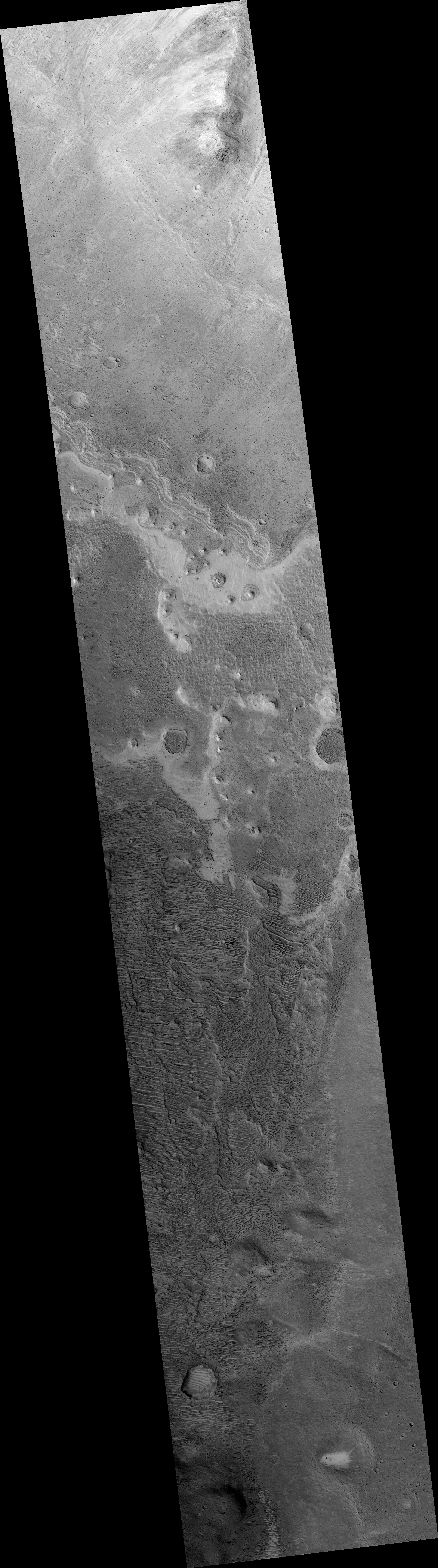
Map Projected Browse Image
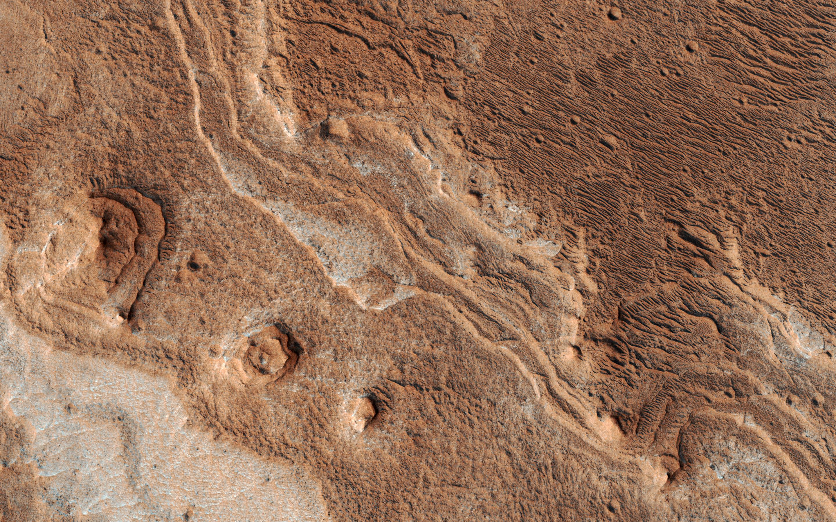
Click on the image for larger versionLayers, probably sedimentary in origin, have undergone extensive erosion in this image from NASA's Mars Reconnaissance Orbiter (MRO) of Shalbatana Valles, a prominent channel that cuts through Xanthe Terra.
This erosion has produced several small mesas and exposed light-toned material that may differ in composition from the surrounding material.
The map is projected here at a scale of 25 centimeters (9.8 inches) per pixel. [The original image scale is 27.5 centimeters (10.8 inches) per pixel (with 1 x 1 binning); objects on the order of 82 centimeters (32.3 inches) across are resolved.] North is up.
The University of Arizona, Tucson, operates HiRISE, which was built by Ball Aerospace & Technologies Corp., Boulder, Colorado. NASA's Jet Propulsion Laboratory, a division of Caltech in Pasadena, California, manages the Mars Reconnaissance Orbiter Project for NASA's Science Mission Directorate, Washington.
