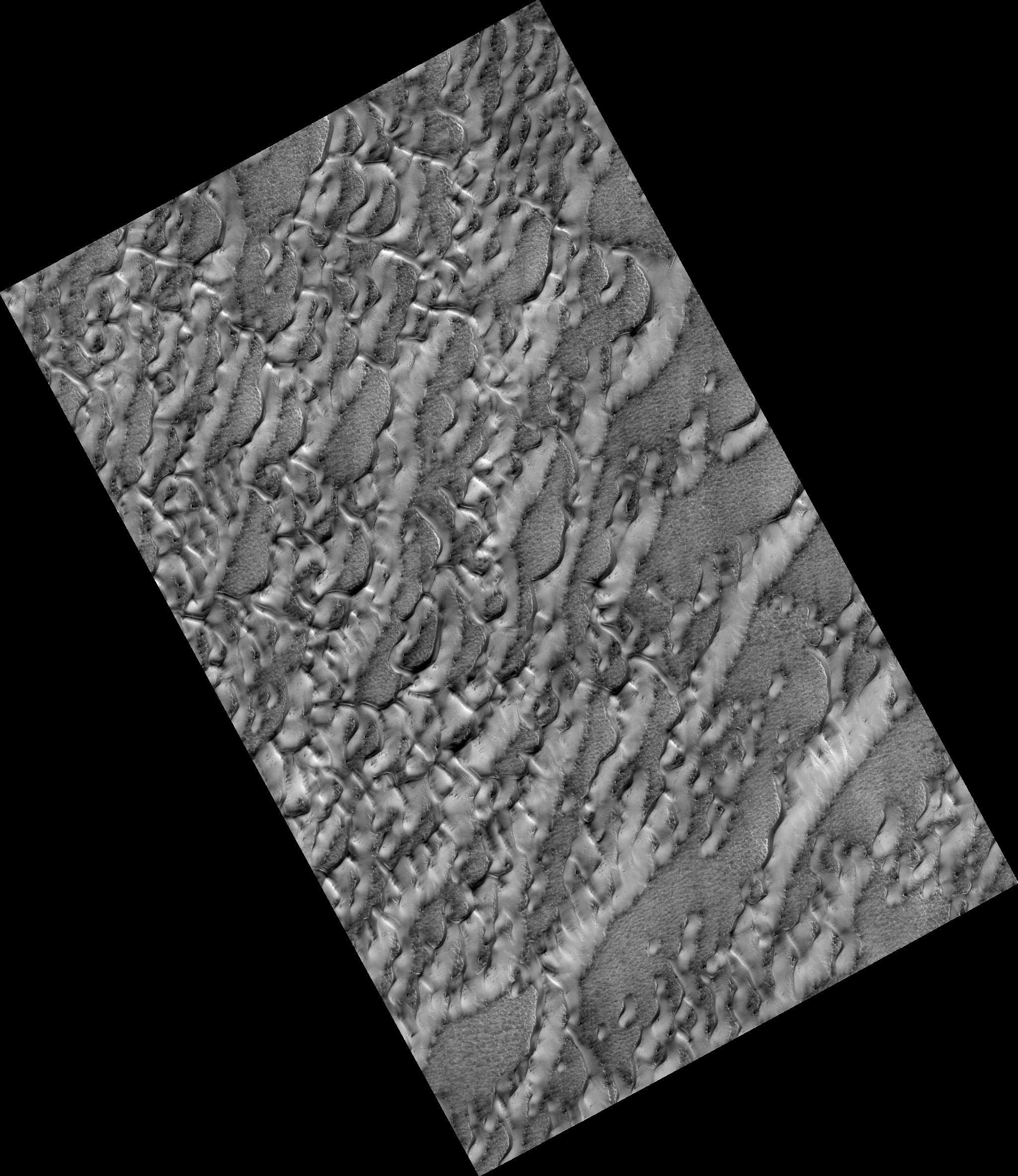
Map Projected Browse Image
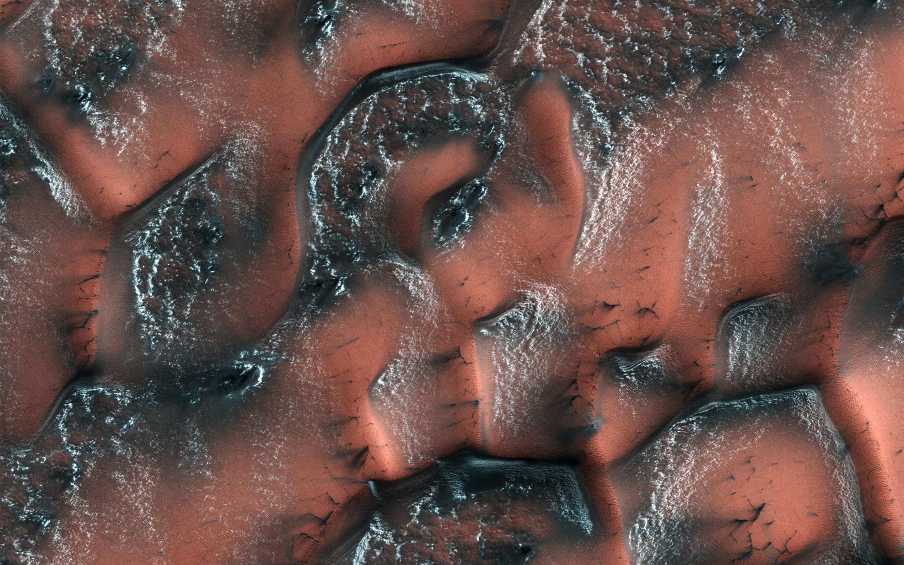
Click on the image for larger versionIt is spring in the Northern hemisphere when NASA's Mars Reconnaissance Orbiter took this image. Over the winter, snow and ice have inexorably covered the dunes. Unlike on Earth, this snow and ice is carbon dioxide, better known to us as dry ice.
When the sun starts shining on it in the spring, the ice on the smooth surface of the dune cracks and escaping gas carries dark sand out from the dune below, often creating beautiful patterns. On the rough surface between the dunes, frost is trapped behind small sheltered ridges.
The map is projected here at a scale of 25 centimeters (9.8 inches) per pixel. [The original image scale is 32.4 centimeters (12.8 inches) per pixel (with 1 x 1 binning); objects on the order of 97 centimeters (38.2 inches) across are resolved.] North is up.
The University of Arizona, Tucson, operates HiRISE, which was built by Ball Aerospace & Technologies Corp., Boulder, Colo. NASA's Jet Propulsion Laboratory, a division of Caltech in Pasadena, California, manages the Mars Reconnaissance Orbiter Project for NASA's Science Mission Directorate, Washington.
