
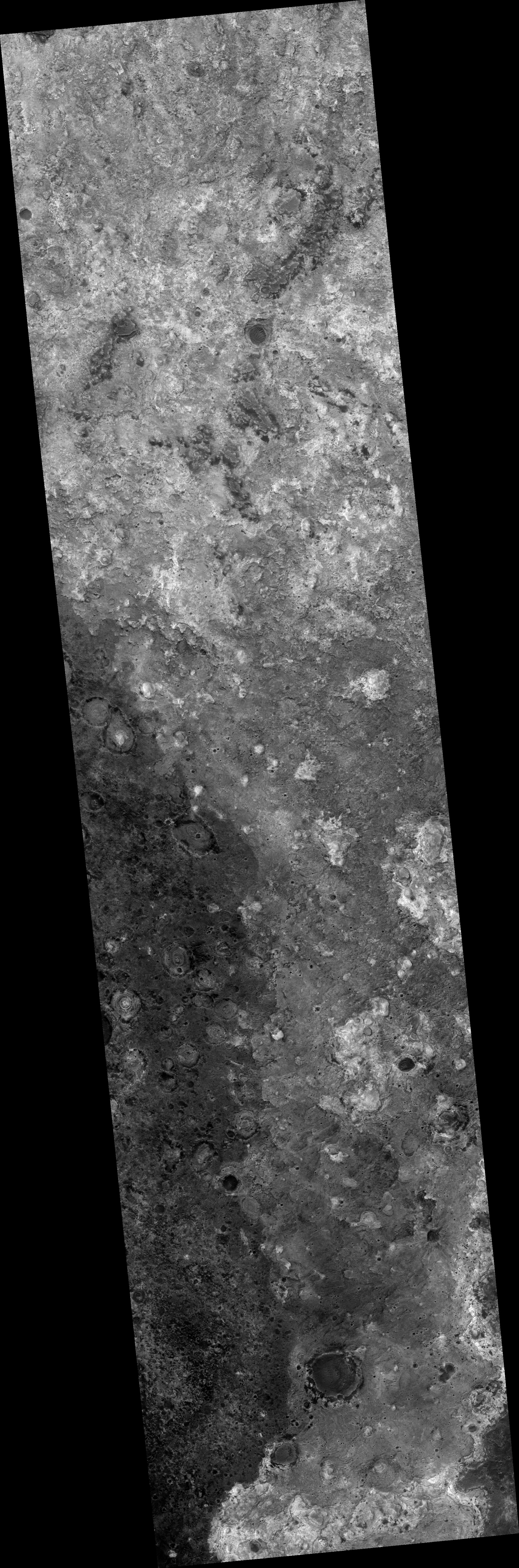
Map Projected Browse Image
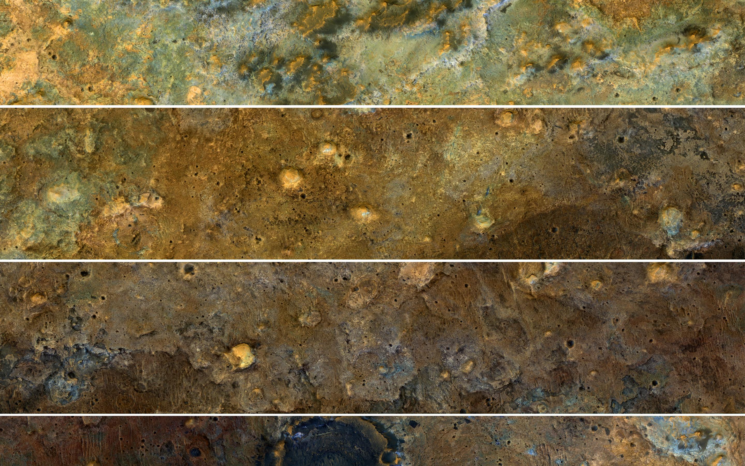
Click on the image for larger versionThe clay-rich terrain surrounding Mawrth Vallis is one of the most scenic regions of Mars, a future interplanetary park, as seen by NASA's Mars Reconnaissance Orbiter. Here, we cut a long, oblique view into strips to see the full color coverage in more compact form.
The origin of these altered layers is the subject of continued debates, perhaps to be resolved by a future rover on the surface. We do know that these layers are very ancient, dating back to a time when the environment of Mars was wetter and more habitable, if there were any inhabitants.
The map is projected here at a scale of 25 centimeters (9.8 inches) per pixel. [The original image scale is 32.3 centimeters (12.7 inches) per pixel (with 1 x 1 binning); objects on the order of 97 centimeters (38.1 inches) across are resolved.] North is up.
This is a stereo pair with PSP_008245_2045.
The University of Arizona, Tucson, operates HiRISE, which was built by Ball Aerospace & Technologies Corp., Boulder, Colo. NASA's Jet Propulsion Laboratory, a division of Caltech in Pasadena, California, manages the Mars Reconnaissance Orbiter Project for NASA's Science Mission Directorate, Washington.
