
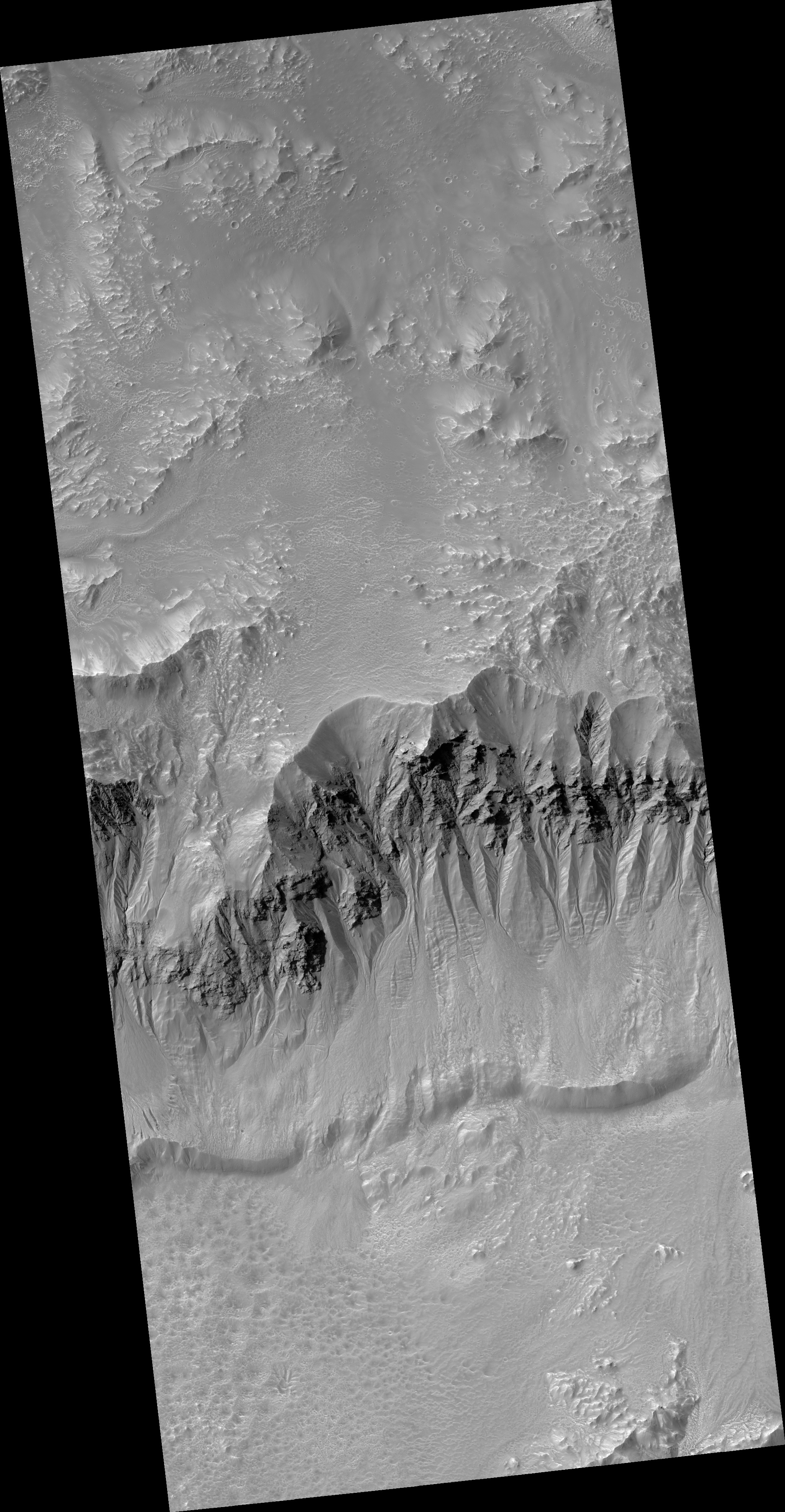
Map Projected Browse Image
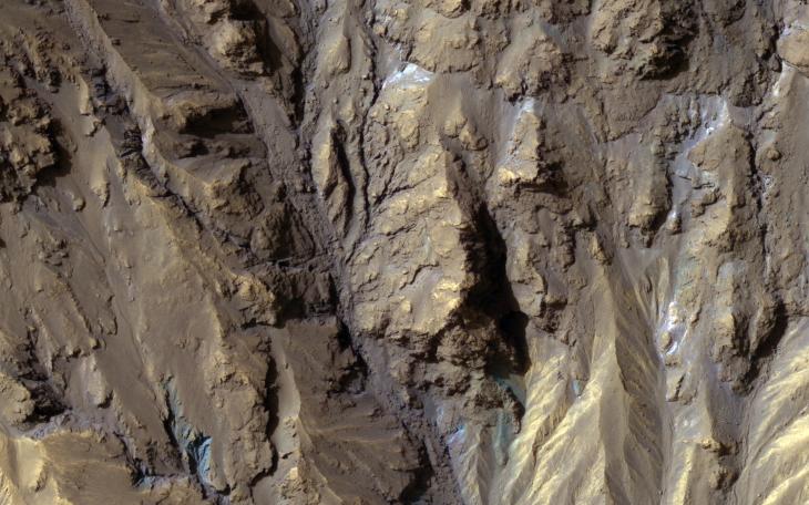
Click on the image for larger versionColor from the High Resolution Imaging Science Experiment (HiRISE) instrument onboard NASA's Mars Reconnaissance Orbiter can show mineralogical differences due to the near-infrared filter. The sources of channels on the north rim of Hale Crater show fresh blue, green, purple and light toned exposures under the overlying reddish dust.
The causes and timing of activity in channels and gullies on Mars remains an active area of research. Geologists infer the timing of different events based on what are called "superposition relationships" between different landforms. Areas like this are a puzzle.
The map is projected here at a scale of 25 centimeters (9.8 inches) per pixel. [The original image scale is 25.2 centimeters (9.9 inches) per pixel (with 1 x 1 binning); objects on the order of 76 centimeters (29.9 inches) across are resolved.] North is up.
The University of Arizona, Tucson, operates HiRISE, which was built by Ball Aerospace & Technologies Corp., Boulder, Colo. NASA's Jet Propulsion Laboratory, a division of Caltech in Pasadena, California, manages the Mars Reconnaissance Orbiter Project for NASA's Science Mission Directorate, Washington.