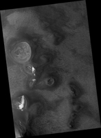
Map Projected Browse Image
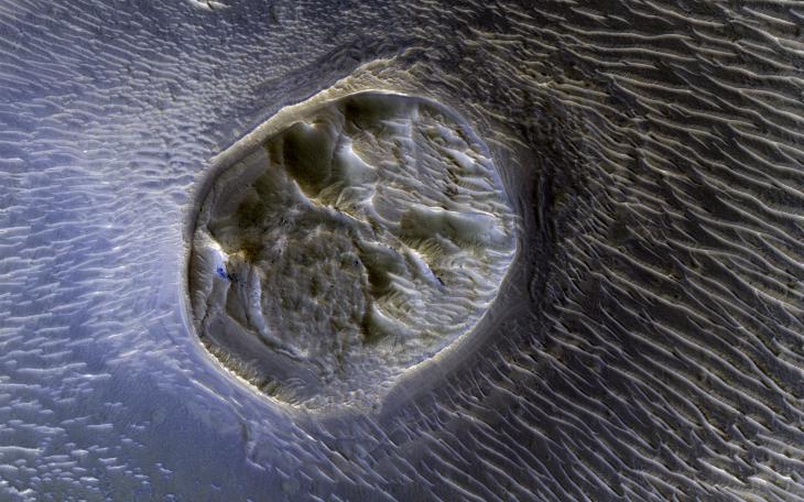
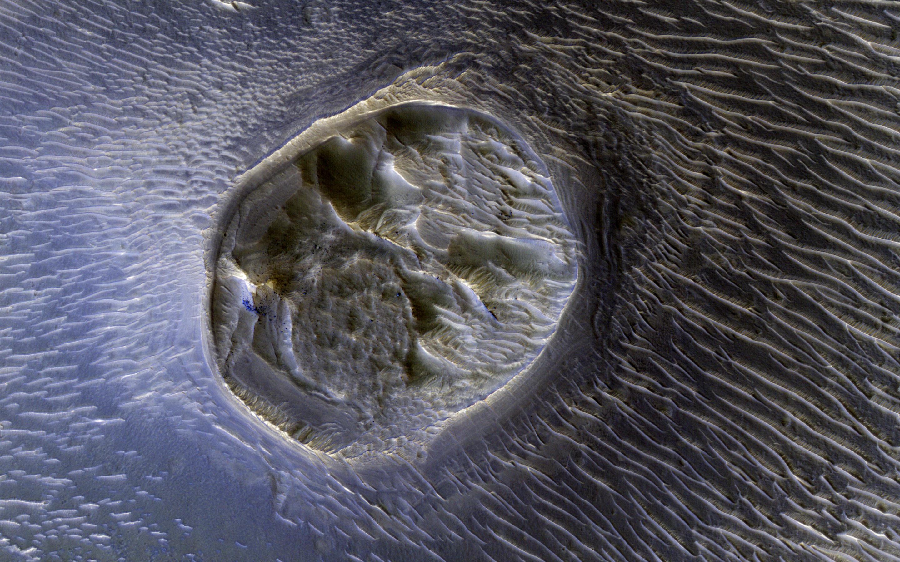
Click on the image for larger versionThis image from NASA's Mars Reconnaissance Orbiter shows a small (0.4 kilometer) mesa, one of several surrounded by sand dunes in Noctis Labyrinthyus, an extensively fractured region on the western end of Valles Marineris.
Heavily eroded, with clusters of boulders and sand dunes on its surface, this layered mesa is probably comprised of sedimentary deposits that are being exhumed as it erodes. The layers themselves are visible as faint bands along the lower left edge of the mesa.
The map is projected here at a scale of 50 centimeters (19.7 inches) per pixel. [The original image scale is 20.7 centimeters (19.6 inches) per pixel (with 2 x 2 binning); objects on the order of 158 centimeters (62.2 inches) across are resolved.] North is up.
The University of Arizona, Tucson, operates HiRISE, which was built by Ball Aerospace & Technologies Corp., Boulder, Colo. NASA's Jet Propulsion Laboratory, a division of Caltech in Pasadena, California, manages the Mars Reconnaissance Orbiter Project for NASA's Science Mission Directorate, Washington.
