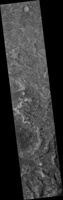
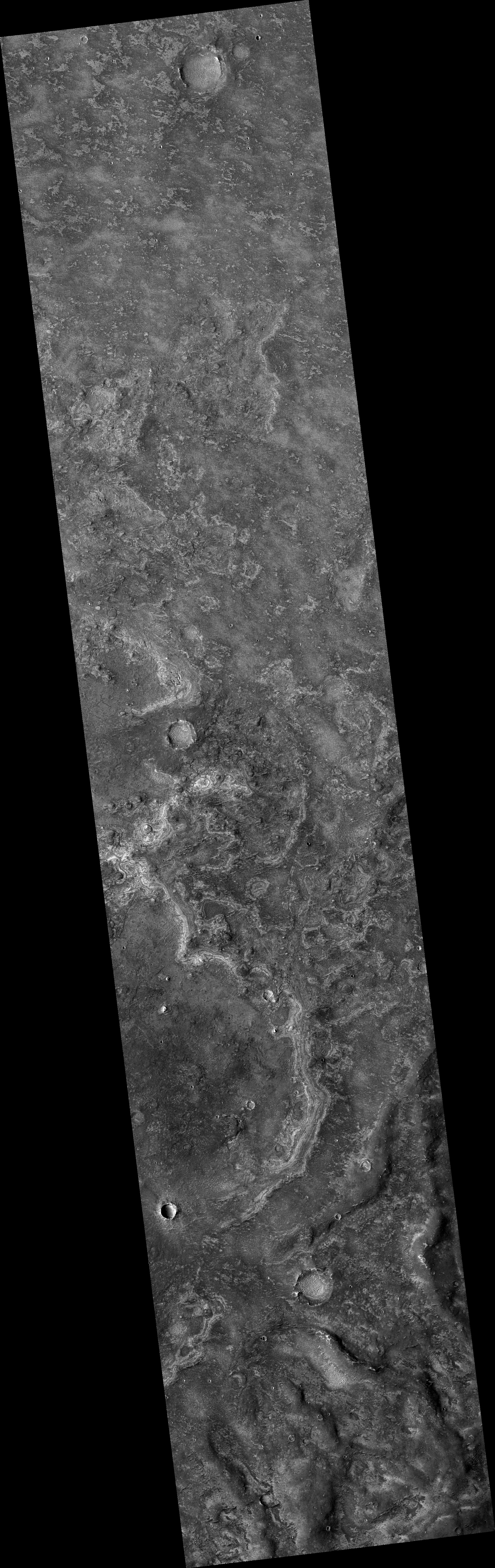
Map Projected Browse Image
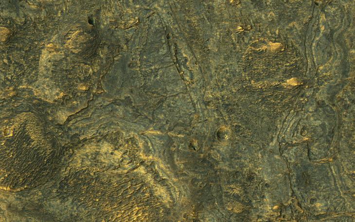
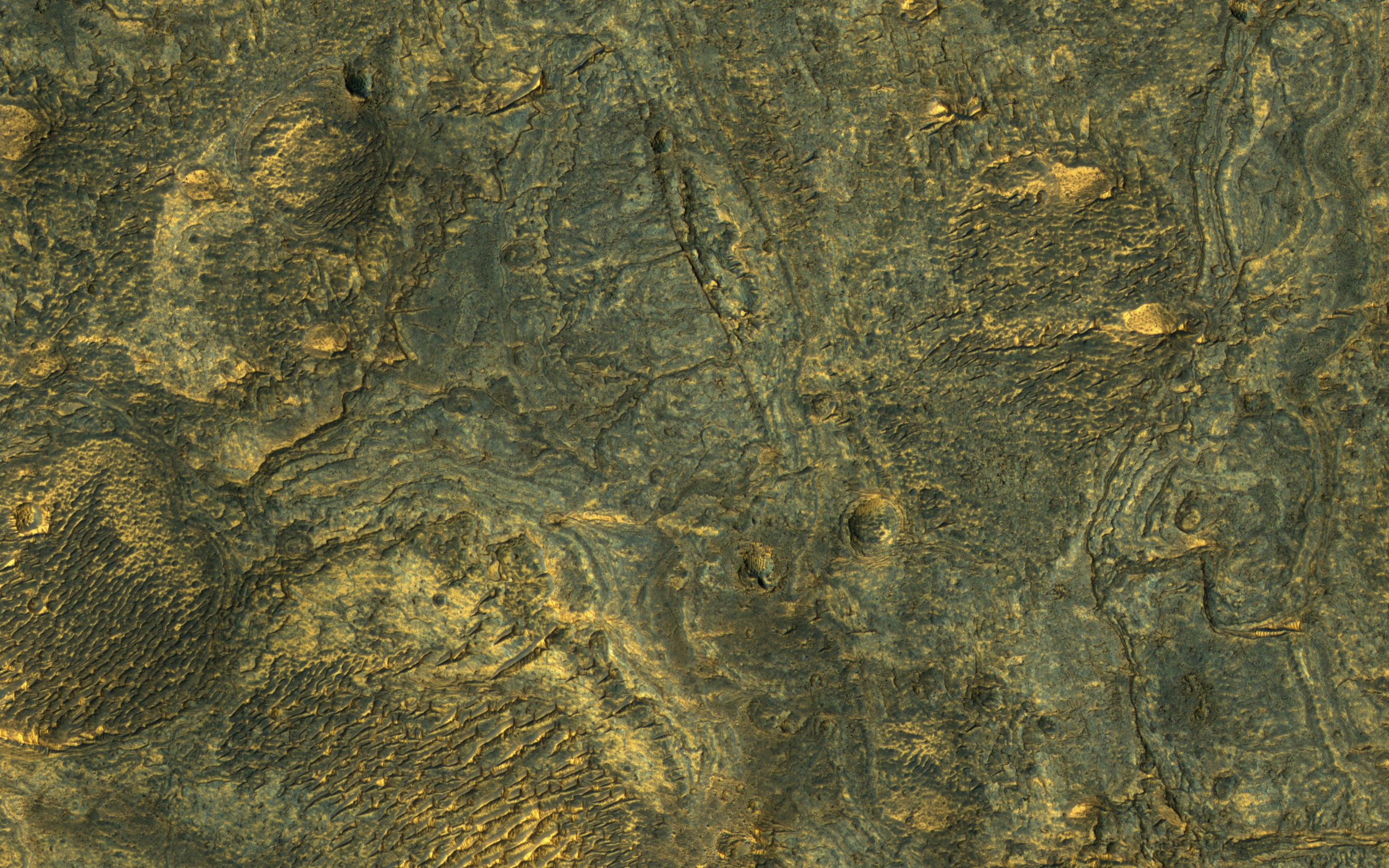
Click on the image for larger versionThis enhanced-color sample reveals the incredible diversity of landforms on some Martian plains that appear bland and uniform at larger scales.
Here we see layers, small channels suggesting water flow, craters, and indurated sand dunes.
The map is projected here at a scale of 25 centimeters (9.8 inches) per pixel. [The original image scale is 25.7 centimeters (10.1 inches) per pixel (with 1 x 1 binning); objects on the order of 77 centimeters (30.3 inches) across are resolved.] North is up.
The University of Arizona, Tucson, operates HiRISE, which was built by Ball Aerospace & Technologies Corp., Boulder, Colo. NASA's Jet Propulsion Laboratory, a division of Caltech in Pasadena, California, manages the Mars Reconnaissance Orbiter Project for NASA's Science Mission Directorate, Washington.