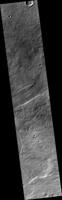
Map Projected Browse Image
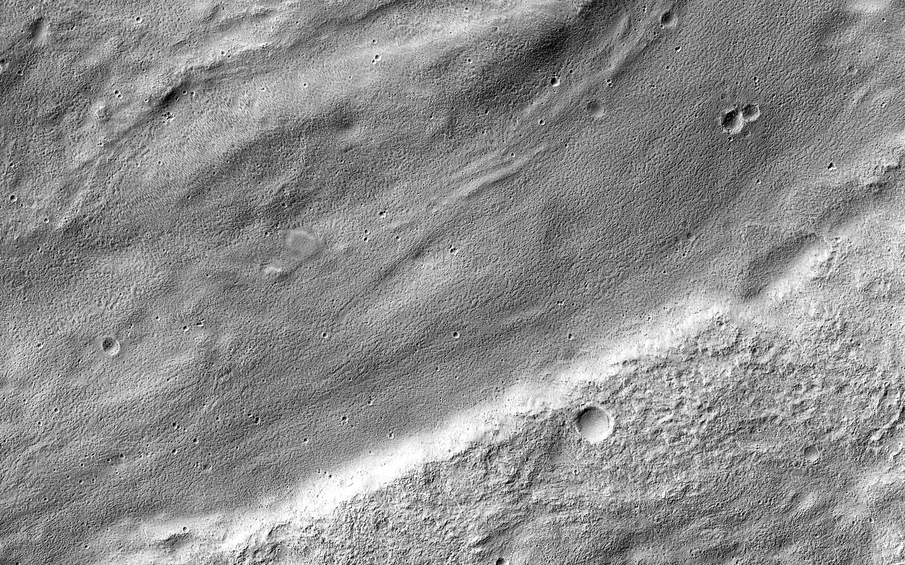
Click on the image for larger versionThe central portion of this image features a mildly-winding depression that was carved by water, likely around four billion years ago shortly after the Hellas basin formed following a giant asteroid or comet impact.
Water would have flowed from the uplands (to the east) and drained into the low-lying basin, carving river channels as it flowed. The gentle curves-called "meanders" by geomorphologists-imply that this paleoriver carried lots of sediment along with it, depositing it into Hellas.
The University of Arizona, Tucson, operates HiRISE, which was built by Ball Aerospace & Technologies Corp., Boulder, Colo. NASA's Jet Propulsion Laboratory, a division of the California Institute of Technology in Pasadena, manages the Mars Reconnaissance Orbiter Project for NASA's Science Mission Directorate, Washington.

