
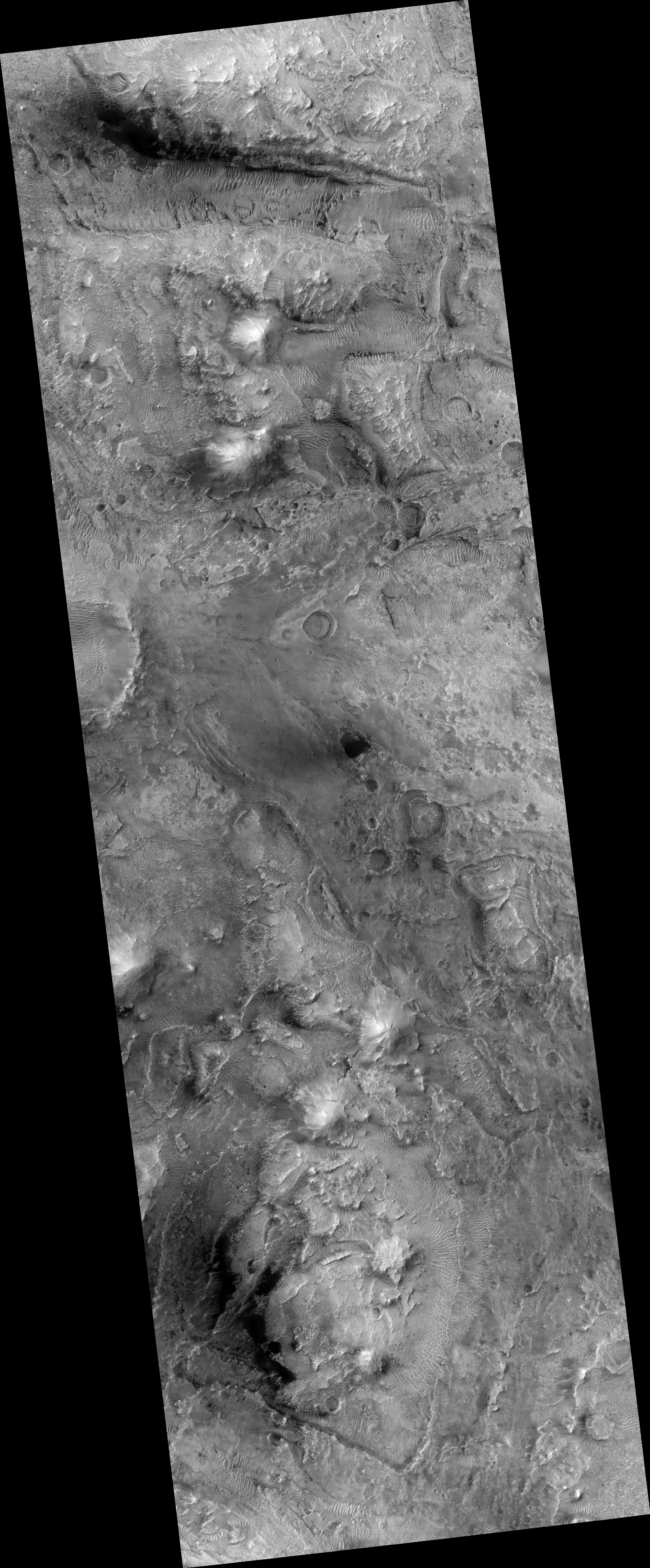
Map Projected Browse Image
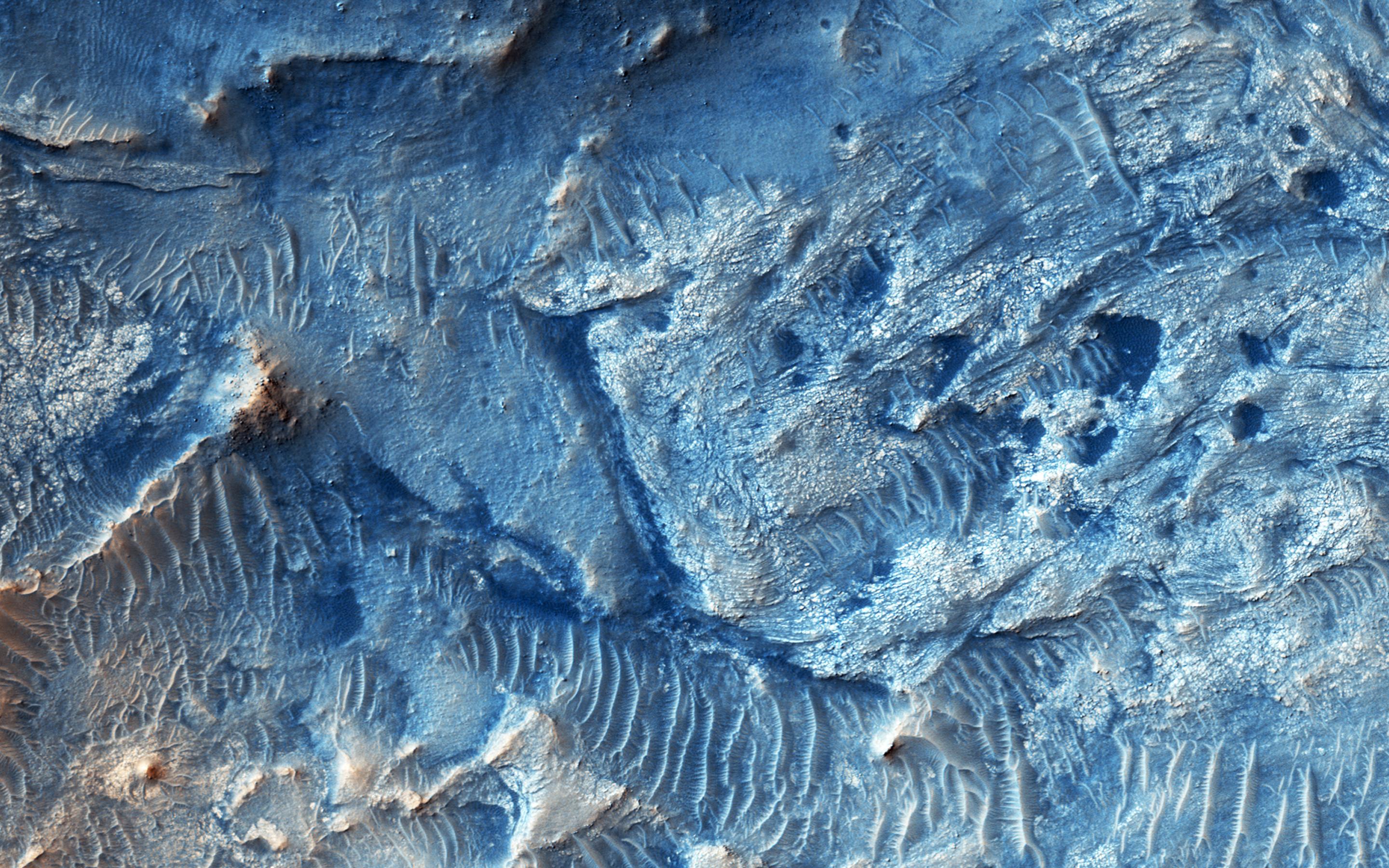
Click on the image for larger versionJezero Crater is candidate future landing site that contains sediments deposited by at least three ancient rivers.
This image was targeted to the eastern headlands of the river flowing in from that direction. In addition to complex erosional patterns, there are some good exposures of ancient bedrock, where we can see evidence for faulting and folding.
This is a stereo pair with ESP_044873_1990.
The University of Arizona, Tucson, operates HiRISE, which was built by Ball Aerospace & Technologies Corp., Boulder, Colo. NASA's Jet Propulsion Laboratory, a division of the California Institute of Technology in Pasadena, manages the Mars Reconnaissance Orbiter Project for NASA's Science Mission Directorate, Washington.
