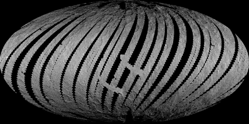
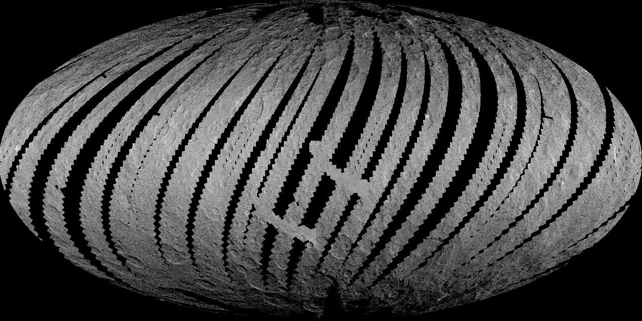
Click here for the animation
This animation from NASA's Dawn mission shows the spacecraft's imaging coverage of dwarf planet Ceres during its low-altitude mapping orbit, 240 miles (385 kilometers) above the surface. The movie shows that the brightest area on Ceres, located in Occator Crater, was one of the last features to be imaged as Dawn progressively built its map.
Dawn's mission is managed by JPL for NASA's Science Mission Directorate in Washington. Dawn is a project of the directorate's Discovery Program, managed by NASA's Marshall Space Flight Center in Huntsville, Alabama. UCLA is responsible for overall Dawn mission science. Orbital ATK, Inc., in Dulles, Virginia, designed and built the spacecraft. The German Aerospace Center, the Max Planck Institute for Solar System Research, the Italian Space Agency and the Italian National Astrophysical Institute are international partners on the mission team. For a complete list of acknowledgments, see http://dawn.jpl.nasa.gov/mission.
For more information about the Dawn mission, visit http://dawn.jpl.nasa.gov.