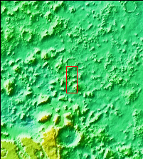
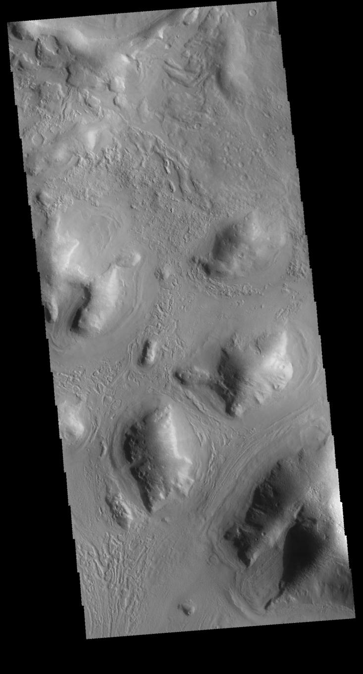
Context imageToday's image is located on the boundary between Terra Sabaea and Utopia Planitia - west of yesterday's image location. The morphology of this region is comprised of hills, some of which have channels between them. In this image the channel feature is near the bottom and is defined by the linear features.
Orbit Number: 61935 Latitude: 42.5281 Longitude: 55.4685 Instrument: VIS Captured: 2015-11-30 12:04
Please see the THEMIS Data Citation Note for details on crediting THEMIS images.
NASA's Jet Propulsion Laboratory manages the 2001 Mars Odyssey mission for NASA's Science Mission Directorate, Washington, D.C. The Thermal Emission Imaging System (THEMIS) was developed by Arizona State University, Tempe, in collaboration with Raytheon Santa Barbara Remote Sensing. The THEMIS investigation is led by Dr. Philip Christensen at Arizona State University. Lockheed Martin Astronautics, Denver, is the prime contractor for the Odyssey project, and developed and built the orbiter. Mission operations are conducted jointly from Lockheed Martin and from JPL, a division of the California Institute of Technology in Pasadena.