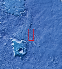
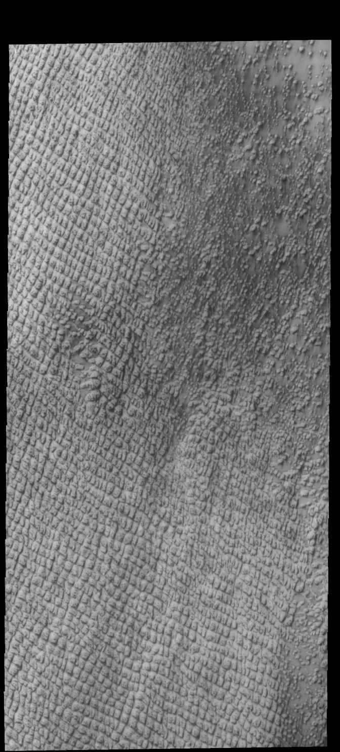
Context imageToday's VIS image shows part of Hyperboreae Undae, a dune field located between the north polar cap and Escorial Crater. This image was taken during northern spring and the dunes still have significant surface frost. The dunes "darken" with time as the frost sublimates from solar heating and the dark sands are revealed.
Orbit Number: 61858 Latitude: 77.8284 Longitude: 309.388 Instrument: VIS Captured: 2015-11-24 04:12
Please see the THEMIS Data Citation Note for details on crediting THEMIS images.
NASA's Jet Propulsion Laboratory manages the 2001 Mars Odyssey mission for NASA's Science Mission Directorate, Washington, D.C. The Thermal Emission Imaging System (THEMIS) was developed by Arizona State University, Tempe, in collaboration with Raytheon Santa Barbara Remote Sensing. The THEMIS investigation is led by Dr. Philip Christensen at Arizona State University. Lockheed Martin Astronautics, Denver, is the prime contractor for the Odyssey project, and developed and built the orbiter. Mission operations are conducted jointly from Lockheed Martin and from JPL, a division of the California Institute of Technology in Pasadena.