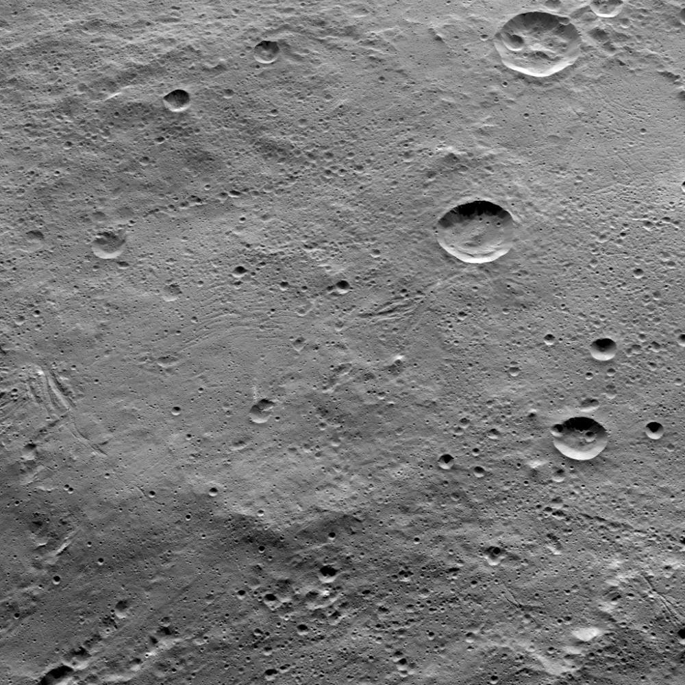
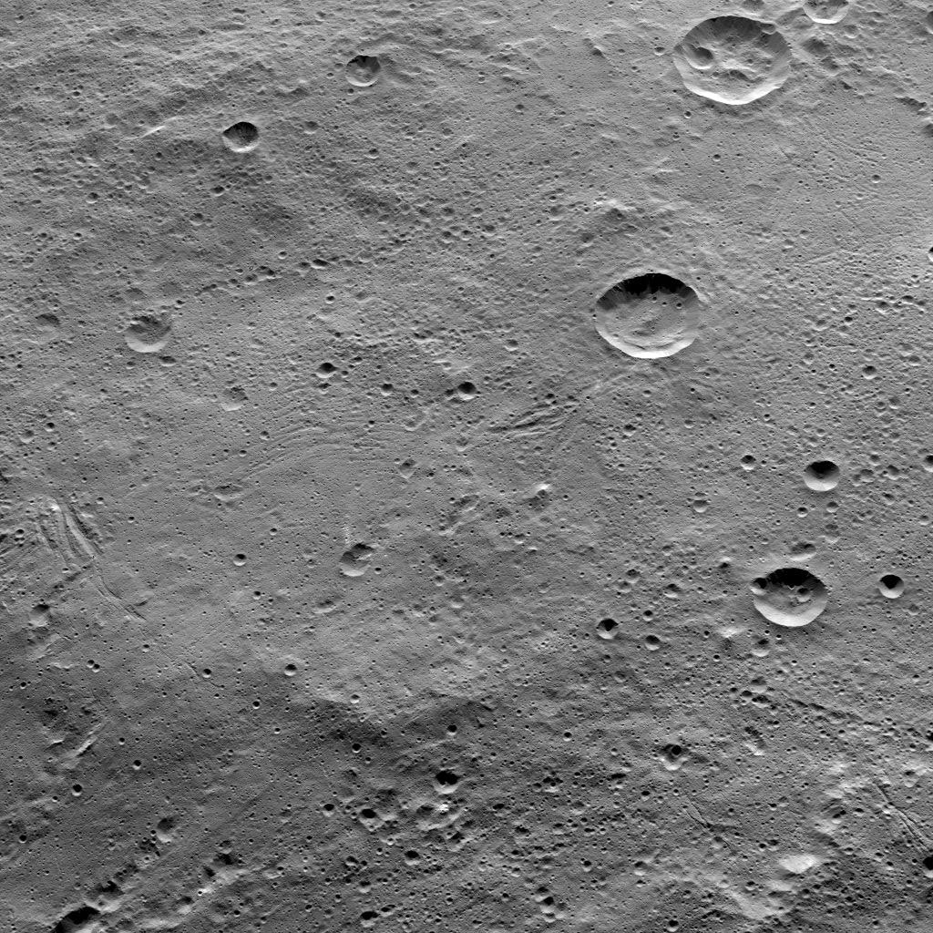
This image of Ceres, taken by NASA's Dawn spacecraft, shows terrain in the southern hemisphere within the large crater called Yalode (160 miles, or 260 kilometers across). Many small-scale, linear troughs, in a variety of orientations, are apparent across this landscape.
The prominent crater at top-right is called Lono (12 miles, 20 kilometers wide). The crater directly below it is called Besua (11 miles, 17 kilometers wide).
The image is centered at approximately 44 degrees south latitude, 300 degrees east latitude. Dawn took this image from an altitude of 915 miles (1,470 kilometers) during the mission's High Altitude Mapping Orbit (HAMO) phase on Oct. 14, 2015. Image resolution is 450 feet (140 meters) per pixel.
Dawn's mission is managed by JPL for NASA's Science Mission Directorate in Washington. Dawn is a project of the directorate's Discovery Program, managed by NASA's Marshall Space Flight Center in Huntsville, Alabama. UCLA is responsible for overall Dawn mission science. Orbital ATK, Inc., in Dulles, Virginia, designed and built the spacecraft. The German Aerospace Center, the Max Planck Institute for Solar System Research, the Italian Space Agency and the Italian National Astrophysical Institute are international partners on the mission team. For a complete list of acknowledgments, see http://dawn.jpl.nasa.gov/mission.
For more information about the Dawn mission, visit http://dawn.jpl.nasa.gov.