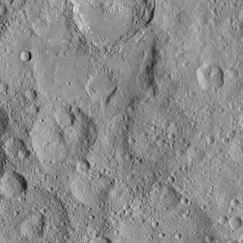
This view shows cratered terrain in the northern hemisphere of Ceres. Ikapati crater is partially cut off at the top of the scene. It appears to have flat plains in its interior that were filled by flows, and it is surrounded by smooth material and ejecta from the crater's interior. On the crater floor are clusters of small pits, some surrounded by bright material.
Dawn took this image on Oct. 6, 2015, from an altitude of 915 miles (1,470 kilometers). It has a resolution of 450 feet (140 meters) per pixel.
The image is located at 36 degrees north latitude, 43 degrees east longitude.
Dawn's mission is managed by JPL for NASA's Science Mission Directorate in Washington. Dawn is a project of the directorate's Discovery Program, managed by NASA's Marshall Space Flight Center in Huntsville, Alabama. UCLA is responsible for overall Dawn mission science. Orbital ATK, Inc., in Dulles, Virginia, designed and built the spacecraft. The German Aerospace Center, the Max Planck Institute for Solar System Research, the Italian Space Agency and the Italian National Astrophysical Institute are international partners on the mission team. For a complete list of acknowledgments, see http://dawn.jpl.nasa.gov/mission.
For more information about the Dawn mission, visit http://dawn.jpl.nasa.gov.
