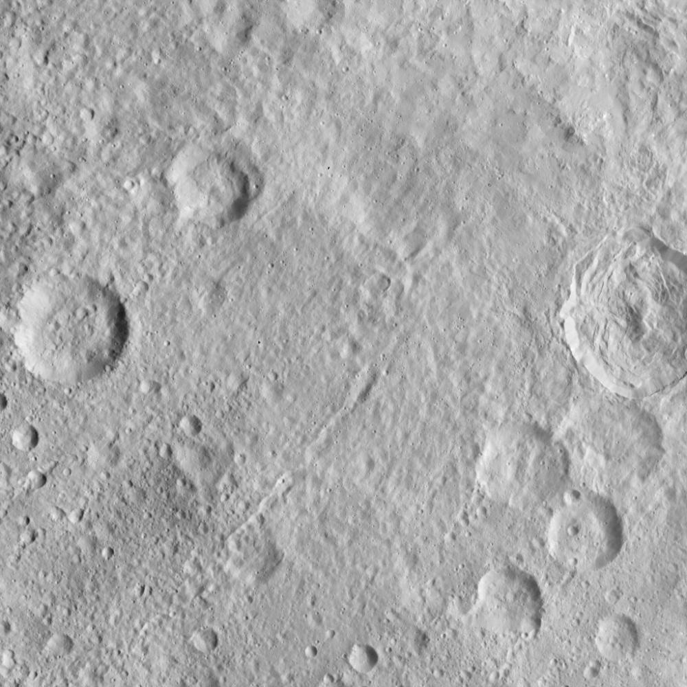
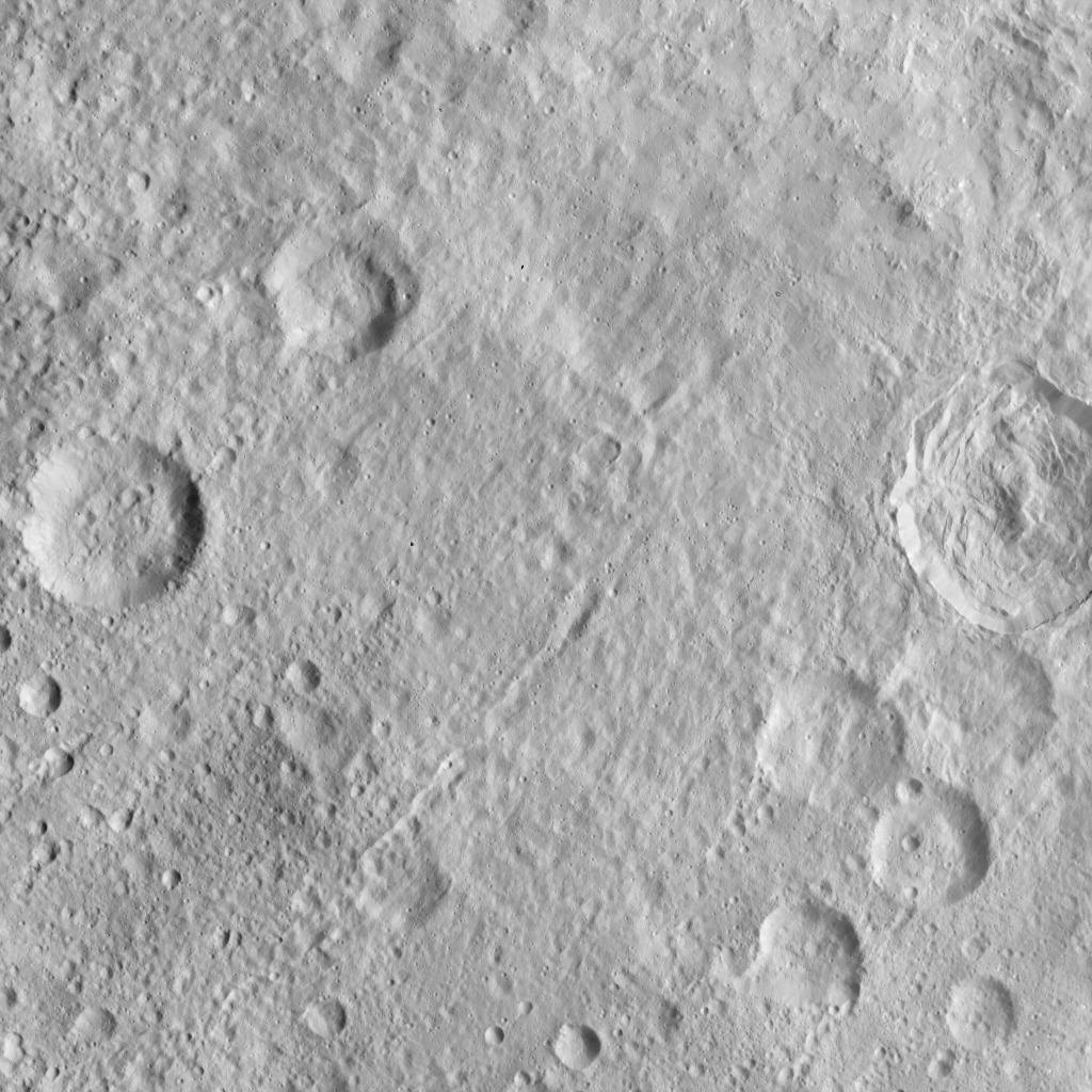
This image, taken by NASA's Dawn spacecraft, displays a linear structure trending from northeast to southwest (lower left to upper right). The graben -- what geologists call a linear feature where terrain has dropped -- might be interpreted as a chain of collapsed pits or secondary craters. The crater at center right displays terraced walls, a common feature among the impact sites of Ceres.
The image was taken on Oct. 6, 2015, from an altitude of 915 miles (1,470 kilometers). It has a resolution of 450 feet (140 meters) per pixel. The image is located at 31 degrees north latitude, 120 degrees east longitude.
Dawn's mission is managed by JPL for NASA's Science Mission Directorate in Washington. Dawn is a project of the directorate's Discovery Program, managed by NASA's Marshall Space Flight Center in Huntsville, Alabama. UCLA is responsible for overall Dawn mission science. Orbital ATK, Inc., in Dulles, Virginia, designed and built the spacecraft. The German Aerospace Center, the Max Planck Institute for Solar System Research, the Italian Space Agency and the Italian National Astrophysical Institute are international partners on the mission team. For a complete list of acknowledgments, see http://dawn.jpl.nasa.gov/mission.
For more information about the Dawn mission, visit http://dawn.jpl.nasa.gov.