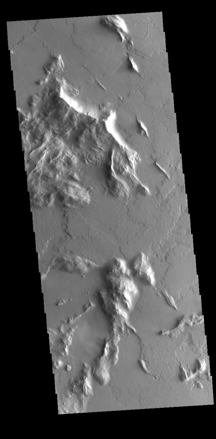
Context imageLocated southwest of Olympus Mons, this VIS image shows part of a complex region that has undergone several geologic processes. The hills have been modified by wind, creating narrow ridges, and then the entire region has been covered with volcanic flows from Olympus Mons.
Orbit Number: 60744 Latitude: 13.4267 Longitude: 220.554 Instrument: VIS Captured: 2015-08-24 10:00
Please see the THEMIS Data Citation Note for details on crediting THEMIS images.
NASA's Jet Propulsion Laboratory manages the 2001 Mars Odyssey mission for NASA's Science Mission Directorate, Washington, D.C. The Thermal Emission Imaging System (THEMIS) was developed by Arizona State University, Tempe, in collaboration with Raytheon Santa Barbara Remote Sensing. The THEMIS investigation is led by Dr. Philip Christensen at Arizona State University. Lockheed Martin Astronautics, Denver, is the prime contractor for the Odyssey project, and developed and built the orbiter. Mission operations are conducted jointly from Lockheed Martin and from JPL, a division of the California Institute of Technology in Pasadena.