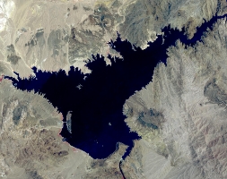
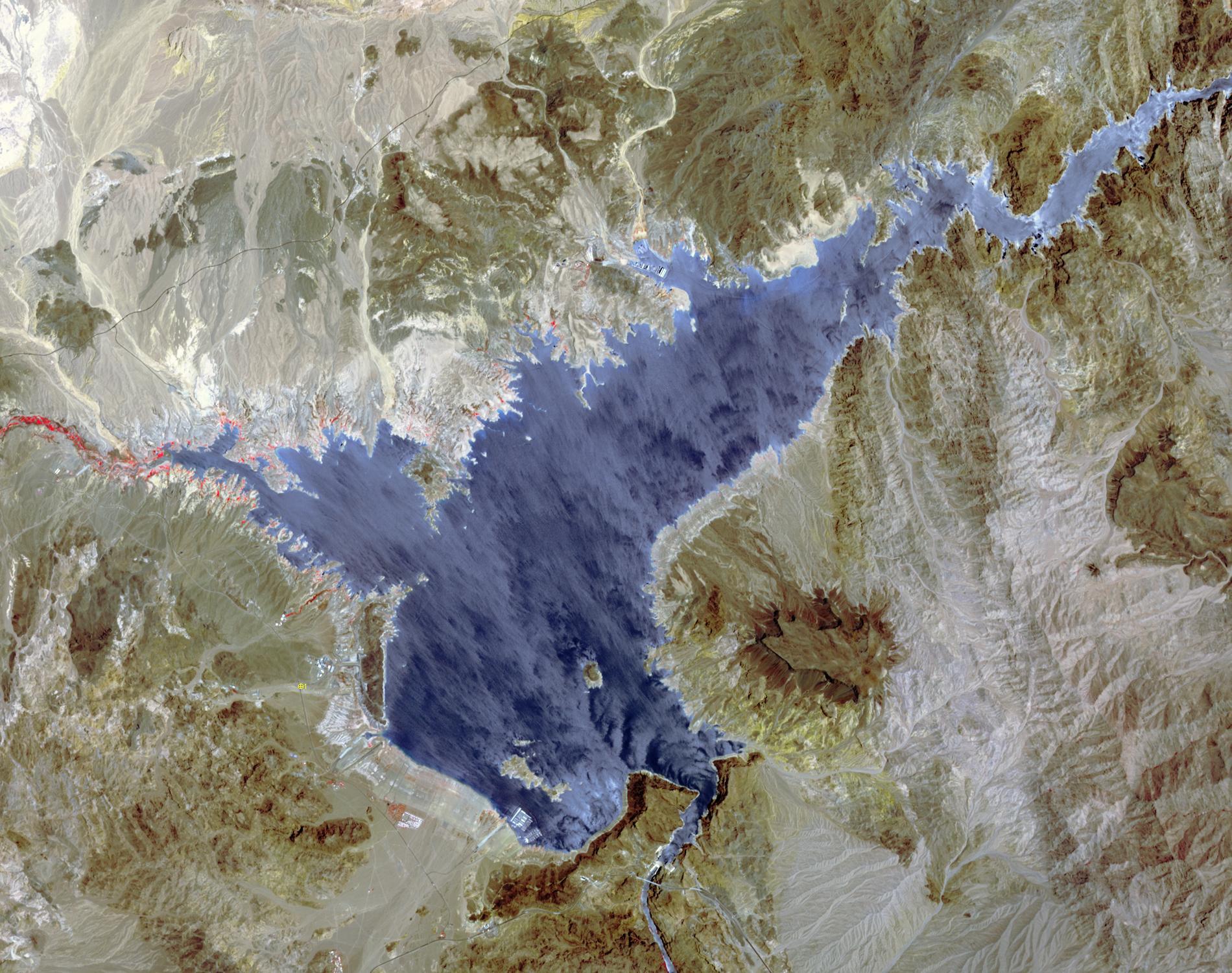
Lake Mead 2000Lake Mead supplies water for Arizona, California, Mexico, and other western states. On June 23, the water level fell to 1075 feet, a record low. In 2000, for comparison, the water level was at 1214 feet. A 15-year drought and increased demands for water are to blame for the critical status of the water supply. The difference in 15 years is seen in this pair of images of the western part of Lake Mead, acquired June 21, 2000 by Landsat 7, and June 21, 2015 by ASTER. The images cover an area of 22.5 x 28.5 km, and are located at 36.1 degrees north, 114.7 degrees west.
With its 14 spectral bands from the visible to the thermal infrared wavelength region and its high spatial resolution of 15 to 90 meters (about 50 to 300 feet), ASTER images Earth to map and monitor the changing surface of our planet. ASTER is one of five Earth-observing instruments launched Dec. 18, 1999, on Terra. The instrument was built by Japan's Ministry of Economy, Trade and Industry. A joint U.S./Japan science team is responsible for validation and calibration of the instrument and data products.
The broad spectral coverage and high spectral resolution of ASTER provides scientists in numerous disciplines with critical information for surface mapping and monitoring of dynamic conditions and temporal change. Example applications are: monitoring glacial advances and retreats; monitoring potentially active volcanoes; identifying crop stress; determining cloud morphology and physical properties; wetlands evaluation; thermal pollution monitoring; coral reef degradation; surface temperature mapping of soils and geology; and measuring surface heat balance.
The U.S. science team is located at NASA's Jet Propulsion Laboratory, Pasadena, Calif. The Terra mission is part of NASA's Science Mission Directorate, Washington, D.C.
More information about ASTER is available at http://asterweb.jpl.nasa.gov/.

