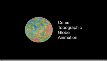
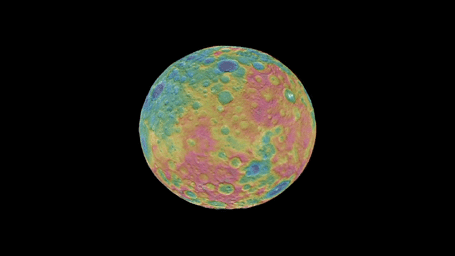
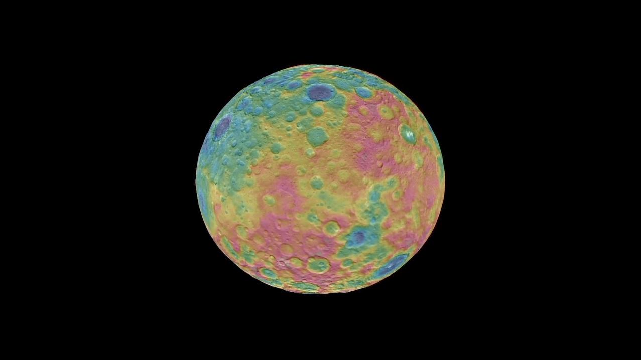
Click on the image for the animationThis animation shows a color-coded map from NASA's Dawn mission revealing the highs and lows of topography on the surface of dwarf planet Ceres.
The color scale extends 3.7 miles (6 kilometers) below the surface in purple to 3.7 miles (6 kilometers) above the surface in brown. The brightest features (those appearing nearly white) -- including the well-known bright spots within a crater in the northern hemisphere -- are simply reflective areas, and do not represent elevation.
The topographic map was constructed from analyzing images from Dawn's framing camera taken from varying sun and viewing angles. The map was combined with an image mosaic of Ceres and projected onto a 3-D shape model of the dwarf planet to create the animation.
Dawn's mission is managed by JPL for NASA's Science Mission Directorate in Washington. Dawn is a project of the directorate's Discovery Program, managed by NASA's Marshall Space Flight Center in Huntsville, Alabama. UCLA is responsible for overall Dawn mission science. Orbital ATK, Inc., in Dulles, Virginia, designed and built the spacecraft. The German Aerospace Center, the Max Planck Institute for Solar System Research, the Italian Space Agency and the Italian National Astrophysical Institute are international partners on the mission team. For a complete list of acknowledgments, see http://dawn.jpl.nasa.gov/mission.
For more information about the Dawn mission, visit http://dawn.jpl.nasa.gov.