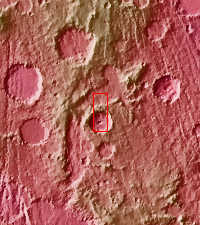
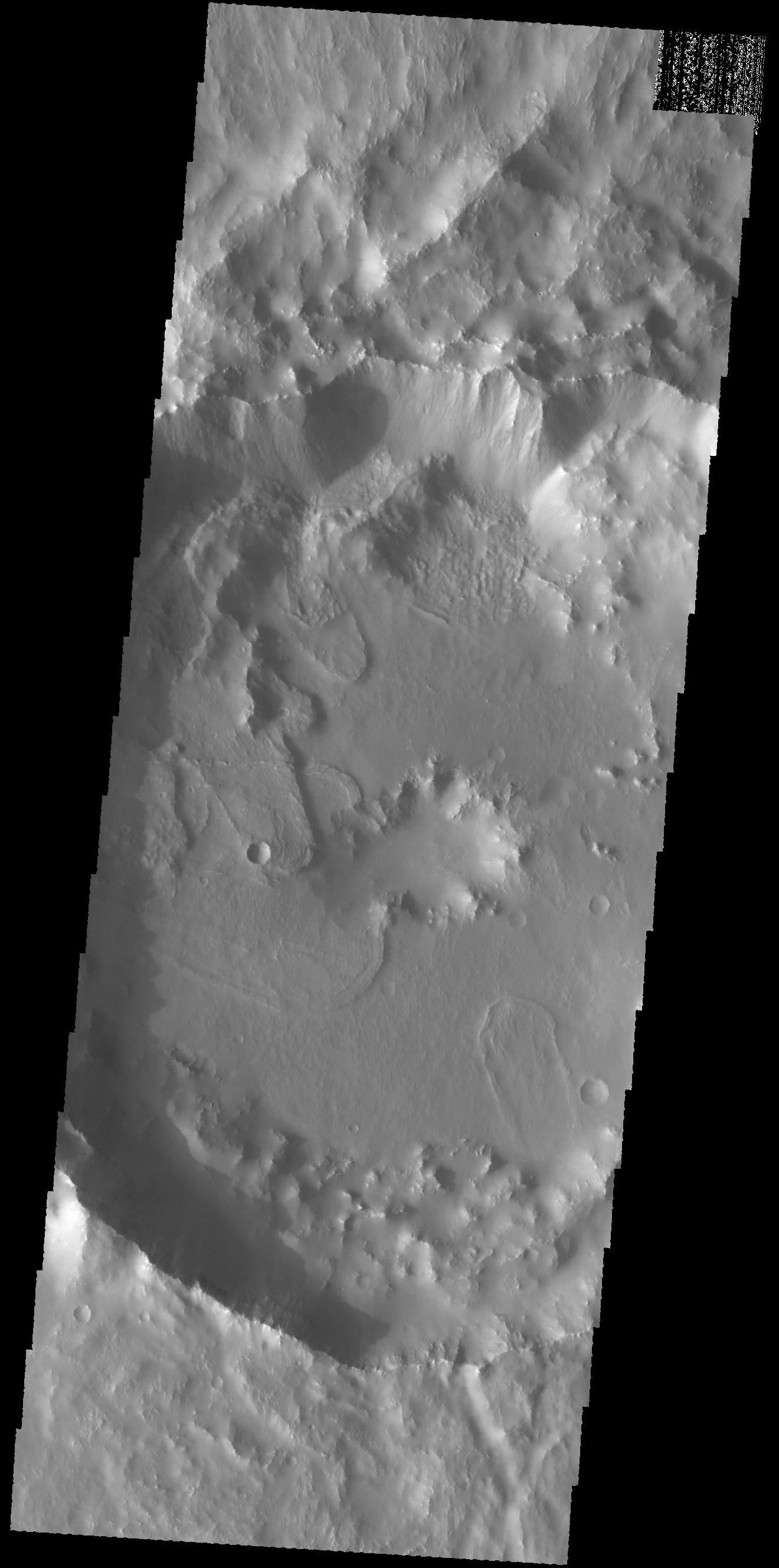
Context imageToday's VIS image shows part of Tugaske Crater. The northern margin of this crater has been modified from a circular form, most likely related to the tectonic activity of Claritas Fossae, where this crater is located. Additionally there are several landslide deposits in the crater, perhaps also formed by tectonic instability in the local region.
Orbit Number: 59439 Latitude: -31.581 Longitude: 258.918 Instrument: VIS Captured: 2015-05-08 22:03
Please see the THEMIS Data Citation Note for details on crediting THEMIS images.
NASA's Jet Propulsion Laboratory manages the 2001 Mars Odyssey mission for NASA's Science Mission Directorate, Washington, D.C. The Thermal Emission Imaging System (THEMIS) was developed by Arizona State University, Tempe, in collaboration with Raytheon Santa Barbara Remote Sensing. The THEMIS investigation is led by Dr. Philip Christensen at Arizona State University. Lockheed Martin Astronautics, Denver, is the prime contractor for the Odyssey project, and developed and built the orbiter. Mission operations are conducted jointly from Lockheed Martin and from JPL, a division of the California Institute of Technology in Pasadena.
