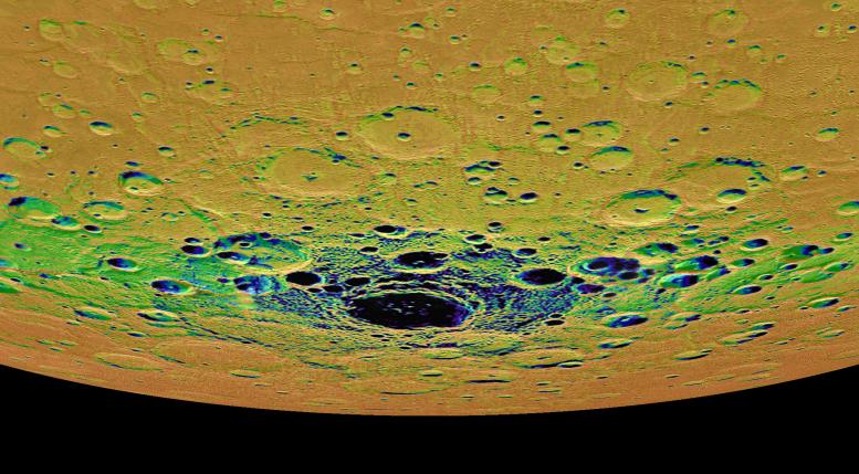
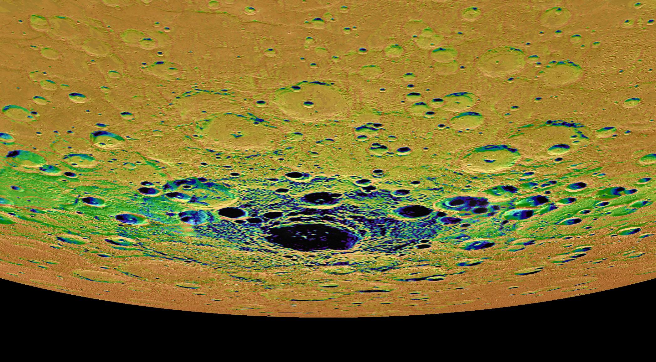
The view shown here is an orthographic projection of Mercury's south polar region, colored by an illumination map. The illumination map, created from repeated MDIS imaging, is colored on the basis of the percentage of time that a given area is sunlit. Areas appearing black in the map are regions of permanent shadow. The largest permanently shadowed region near the center of the image is within the interior of the crater Chao Meng-Fu, a location with evidence for hosting considerable amounts of water ice.
Instrument: Mercury Dual Imaging System (MDIS)
Chao Meng-Fu Center Latitude: -88.4°
Chao Meng-Fu Center Longitude: 203.6° E
Scale: Chao Meng-Fu has a diameter of roughly 180 kilometers (112 miles)
The MESSENGER spacecraft is the first ever to orbit the planet Mercury, and the spacecraft's seven scientific instruments and radio science investigation are unraveling the history and evolution of the Solar System's innermost planet. In the mission's more than four years of orbital operations, MESSENGER has acquired over 250,000 images and extensive other data sets. MESSENGER's highly successful orbital mission is about to come to an end, as the spacecraft runs out of propellant and the force of solar gravity causes it to impact the surface of Mercury in April 2015.
For information regarding the use of images, see the MESSENGER image use policy.