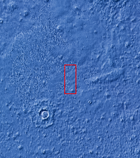
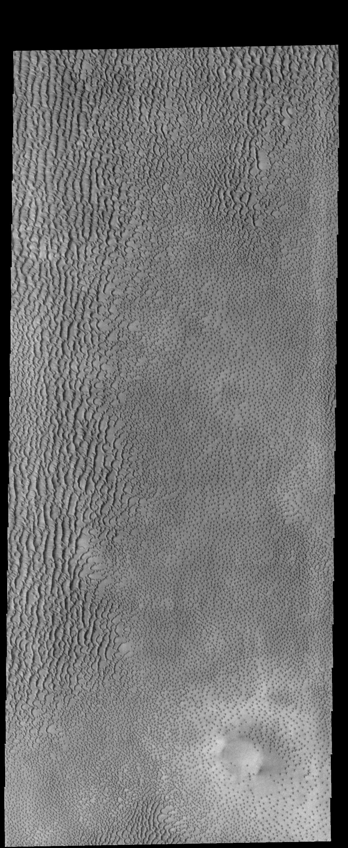
Context imageThis VIS image shows part of Aspledon Undae, a region of dunes near the north pole. The right side of the image shows hundreds of small, isolated dunes. On the left side of the image, these small dunes appear to have merged into larger dune forms.
Orbit Number: 54806 Latitude: 72.1234 Longitude: 312.147 Instrument: VIS Captured: 2014-04-22 13:26
Please see the THEMIS Data Citation Note for details on crediting THEMIS images.
NASA's Jet Propulsion Laboratory manages the 2001 Mars Odyssey mission for NASA's Science Mission Directorate, Washington, D.C. The Thermal Emission Imaging System (THEMIS) was developed by Arizona State University, Tempe, in collaboration with Raytheon Santa Barbara Remote Sensing. The THEMIS investigation is led by Dr. Philip Christensen at Arizona State University. Lockheed Martin Astronautics, Denver, is the prime contractor for the Odyssey project, and developed and built the orbiter. Mission operations are conducted jointly from Lockheed Martin and from JPL, a division of the California Institute of Technology in Pasadena.
