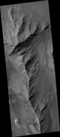
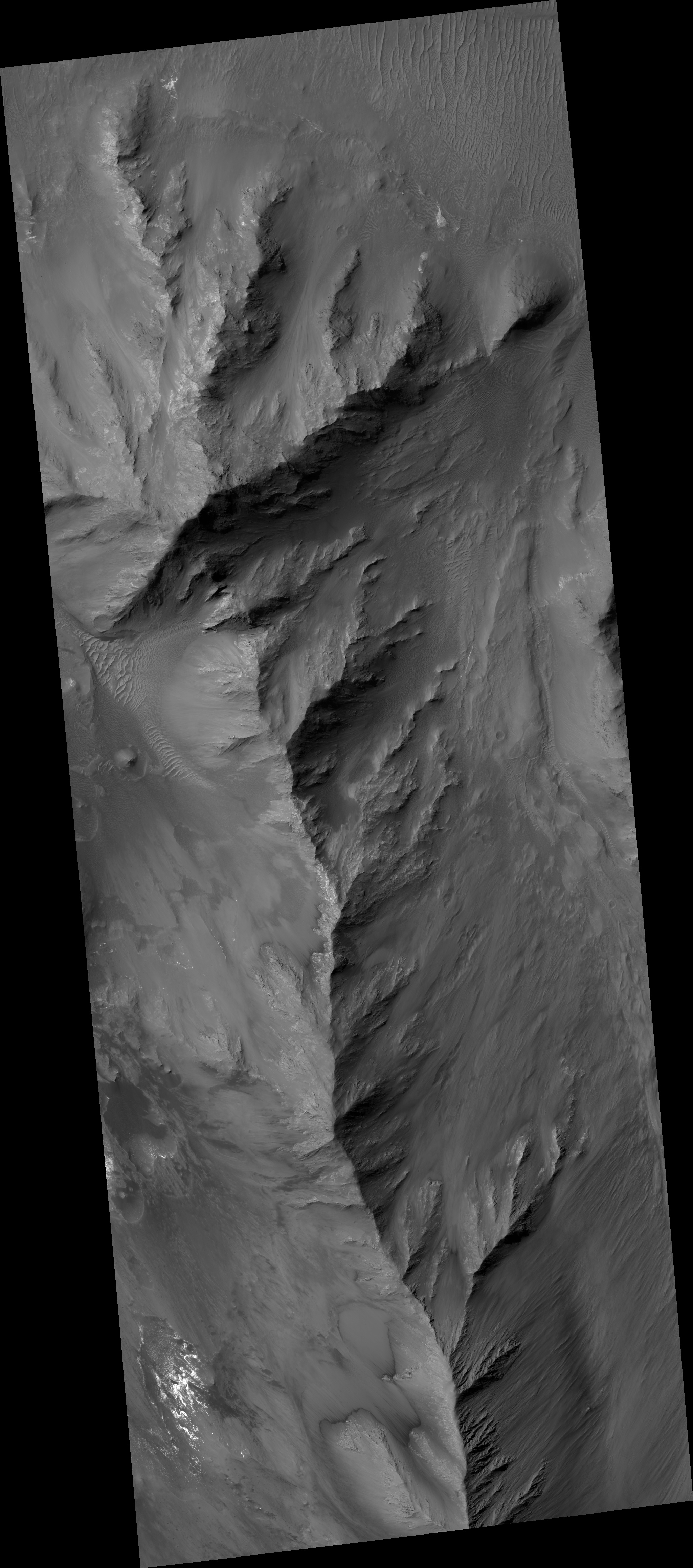
Map Projected Browse Image
Click on the image for larger versionRecurring slope lineae (RSL) may be due to active seeps of water. These dark flows are abundant along the steep slopes of ancient bedrock in Coprates Chasma.
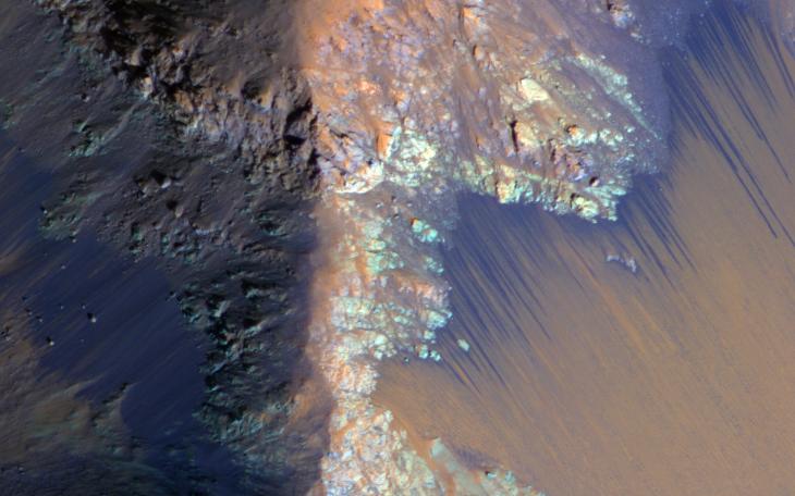
The enhanced-color cutout shows a full-resolution sample. The RSL are most prominent on the bright fans at the base of the bedrock, but actually extend back into the bedrock following small channels. MRO is continuing to monitor key sites to better understand this and other geologic activity on Mars.
This is a stereo pair with ESP_034619_1670.
HiRISE is one of six instruments on NASA's Mars Reconnaissance Orbiter. The University of Arizona, Tucson, operates the orbiter's HiRISE camera, which was built by Ball Aerospace & Technologies Corp., Boulder, Colo. NASA's Jet Propulsion Laboratory, a division of the California Institute of Technology in Pasadena, manages the Mars Reconnaissance Orbiter Project for the NASA Science Mission Directorate, Washington.