
Map Projected Browse Image
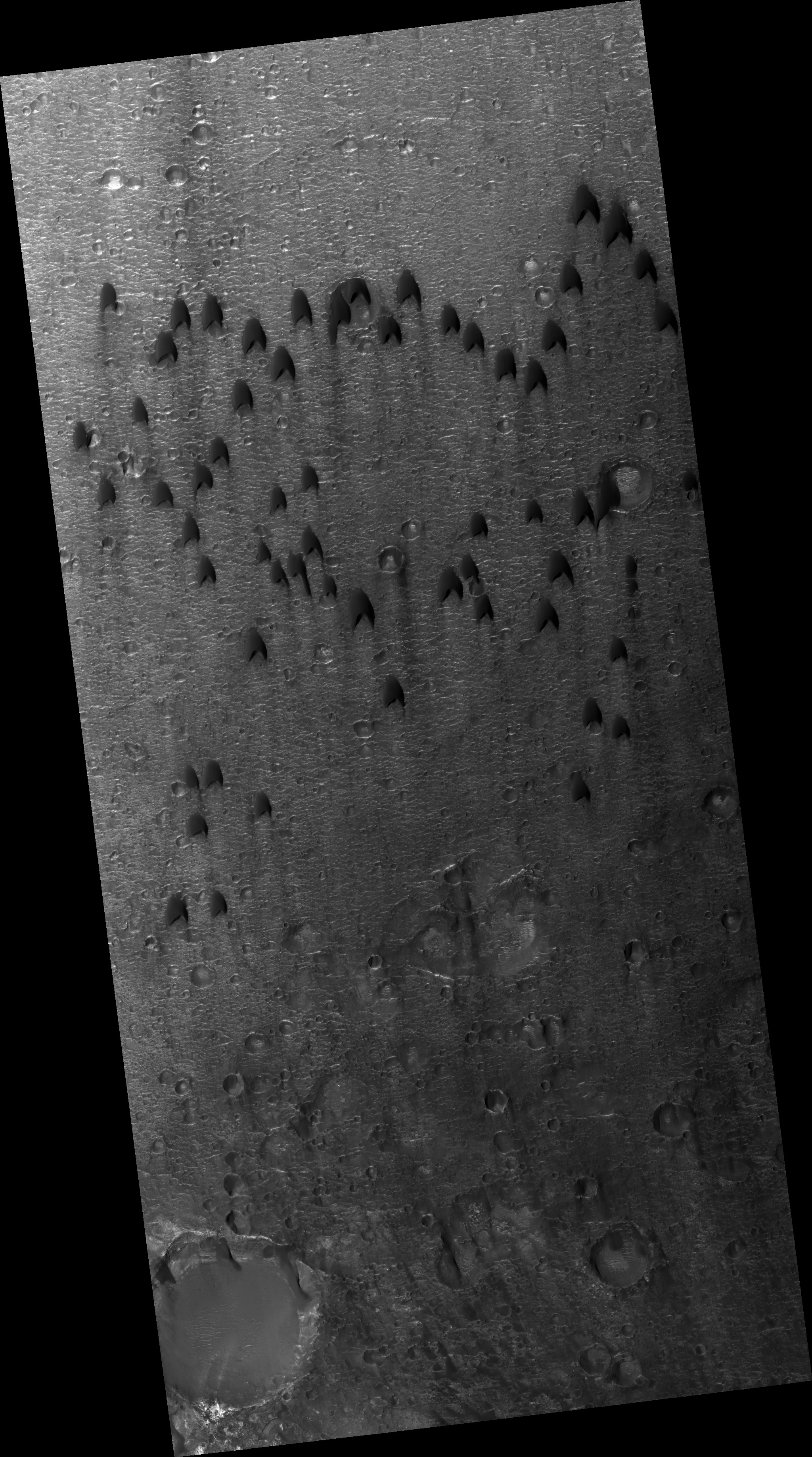
Click on the image for larger versionMigratory birds and military aircraft -- like during World War II -- often fly in a V-shaped formation. The "V" formation greatly boosts the efficiency and range of flying birds, because all except the first fly in the upward motion of air -- called upwash -- from the wingtip vortices of the bird ahead.
In this image of a dune field in a large crater near Mawrth Vallis, some of the dunes appear to be in formation. For dune fields, the spacing of individual dunes is a function of sand supply, wind speed, and topography.
HiRISE is one of six instruments on NASA's Mars Reconnaissance Orbiter. The University of Arizona, Tucson, operates the orbiter's HiRISE camera, which was built by Ball Aerospace & Technologies Corp., Boulder, Colo. NASA's Jet Propulsion Laboratory, a division of the California Institute of Technology in Pasadena, manages the Mars Reconnaissance Orbiter Project for the NASA Science Mission Directorate, Washington.
