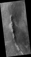
Map Projected Browse Image
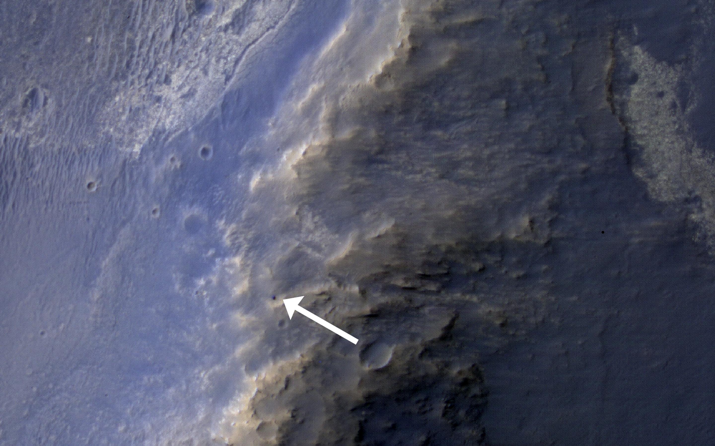
Click on the image for larger versionThis HiRISE image of the Opportunity rover was acquired as a coordinated "ride-along" observation with the CRISM instrument, also onboard the Mars Reconnaissance Orbiter. The CRISM instrument is a spectrometer that views the surface in many wavelengths beyond what the human eye can detect, allowing for mineral identification of the Martian surface.
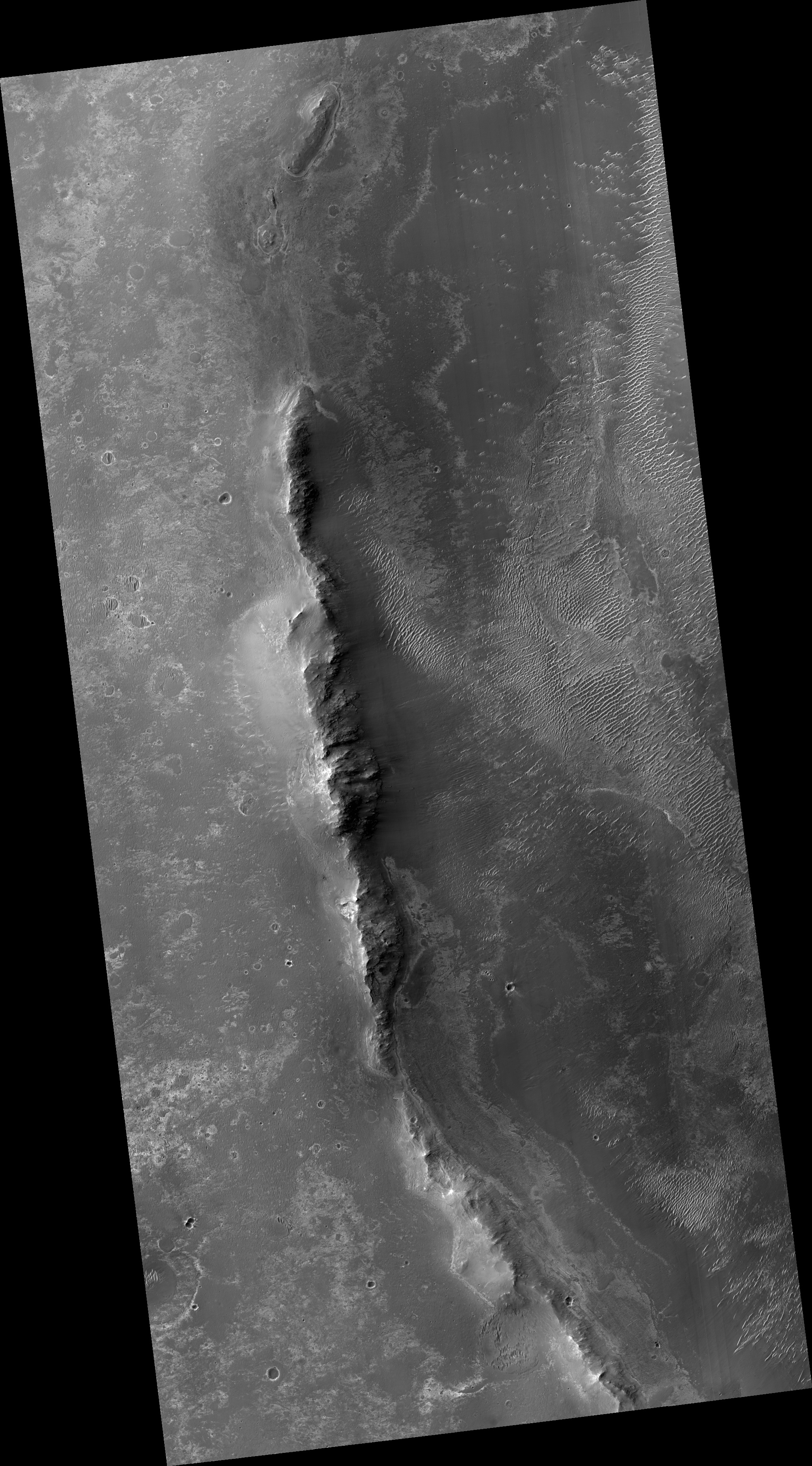
HiRISE images can be used to construct digital terrain models (or DTM), like the one of Endeavour Crater's western rim, which provides high-resolution topography for landing site support. This southward perspective view was built using that DTM.
The use of CRISM mineralogy, along with topography and fine-scale images from HiRISE will aid in Opportunity's investigation into the geologic history of the Murray Ridge of Endeavour Crater.
HiRISE is one of six instruments on NASA's Mars Reconnaissance Orbiter. The University of Arizona, Tucson, operates the orbiter's HiRISE camera, which was built by Ball Aerospace & Technologies Corp., Boulder, Colo. NASA's Jet Propulsion Laboratory, a division of the California Institute of Technology in Pasadena, manages the Mars Reconnaissance Orbiter Project for the NASA Science Mission Directorate, Washington.
