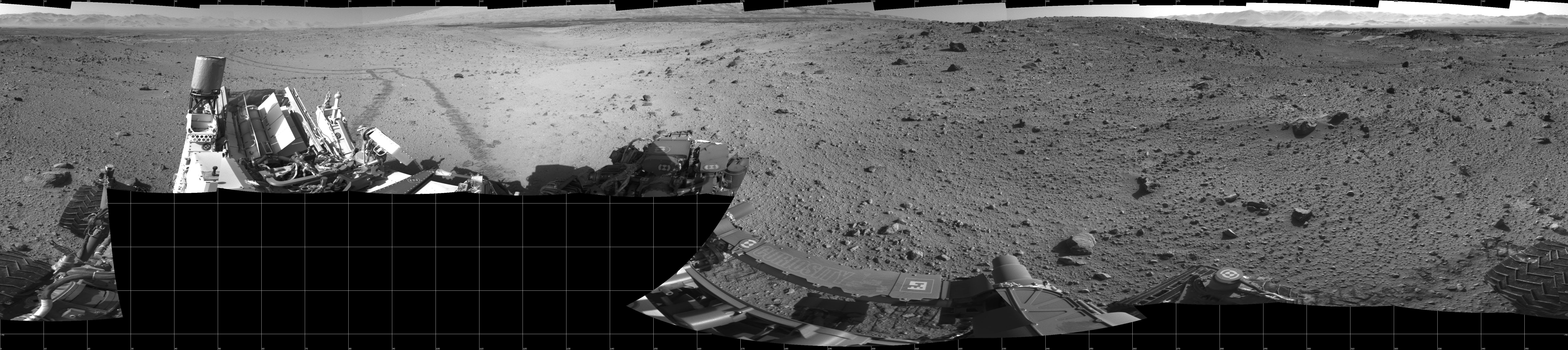
This mosaic of images from the Navigation Camera (Navcam) on NASA's Mars rover Curiosity shows the terrain surrounding the rover's position on the 524th Martian day, or sol, of the mission (Jan. 26, 2014). The images were taken right after Curiosity completed a drive of about 79 feet (24 meters).
The view covers a full 360 degrees, centered toward the south, with north at both the left and right ends. The far horizon on the right is the rim of Gale Crater. Just below the darker, nearer horizon is a sand dune at a location called "Dingo Gap." The mosaic is presented as a cylindrical projection.
NASA's Jet Propulsion Laboratory, a division of the California Institute of Technology, Pasadena, manages the Mars Science Laboratory Project for NASA's Science Mission Directorate, Washington. JPL designed and built the project's Curiosity rover.
More information about Curiosity is online at http://www.nasa.gov/msl and http://mars.jpl.nasa.gov/msl/.
