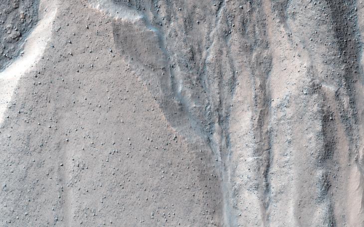
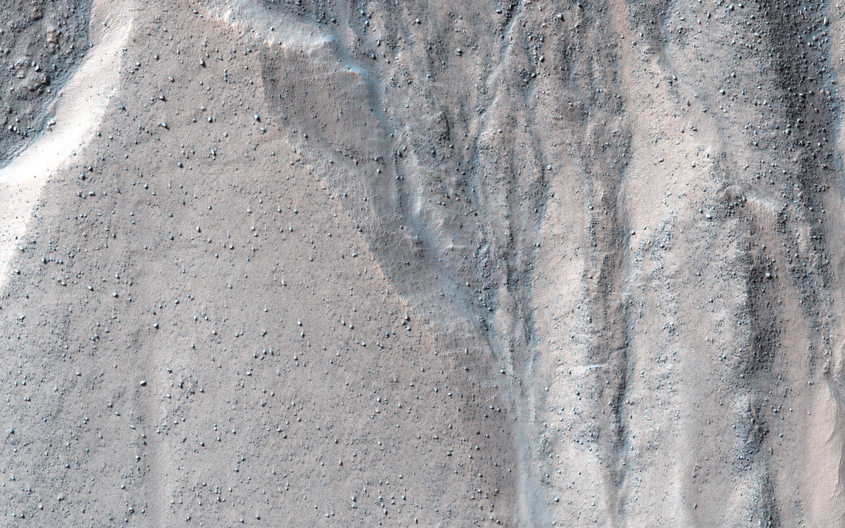
This observation shows a beautiful example of gullies in a massif in Nereidum Montes, located in Argyre Planitia, one of the largest impact basins on Mars.
The purpose of acquiring this full-resolution image of these gullies was to take a closer look at where they are originating from in the massif wall. If we can answer that, we might be able to learn what were the processes that actually formed these gullies. In this particular region, there might be indications of a glacial past.
Nereidum Montes extends approximately 1150 kilometers, and was named by the noted Greek astronomer Eugène Michel Antoniadi (1870-1944).
HiRISE is one of six instruments on NASA's Mars Reconnaissance Orbiter. The University of Arizona, Tucson, operates the orbiter's HiRISE camera, which was built by Ball Aerospace & Technologies Corp., Boulder, Colo. NASA's Jet Propulsion Laboratory, a division of the California Institute of Technology in Pasadena, manages the Mars Reconnaissance Orbiter Project for the NASA Science Mission Directorate, Washington.