Annotated Version
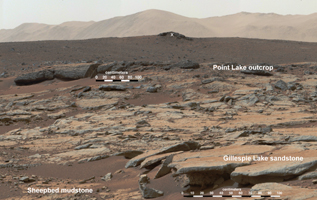
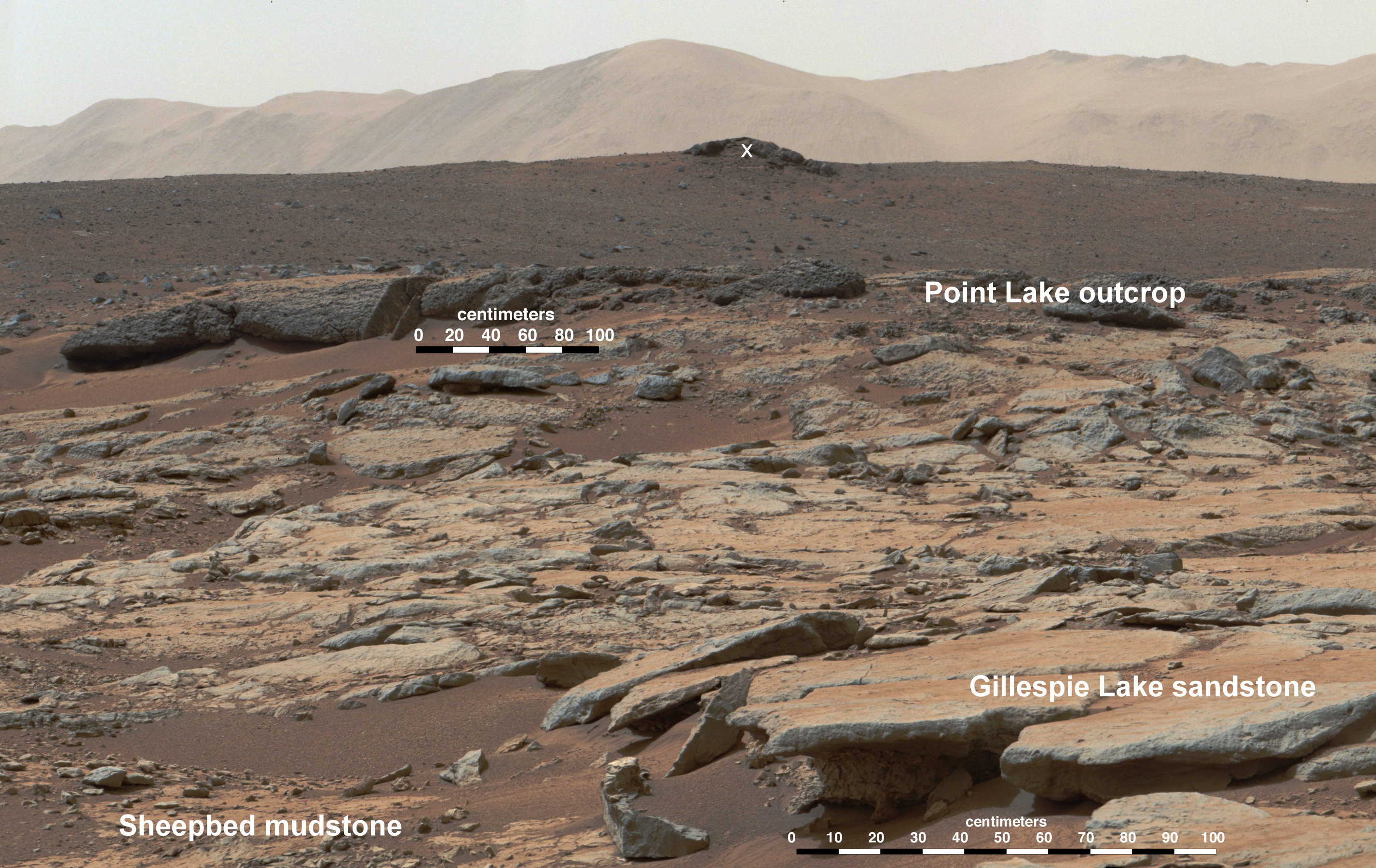
Click on the image for larger versionThis mosaic of images from the Mast Camera (Mastcam) instrument on NASA's Curiosity Mars rover shows a series of sedimentary deposits in the Glenelg area of Gale Crater, from a perspective in Yellowknife Bay looking toward west-northwest.
Curiosity's science team has estimated that the "Cumberland" rock that the rover drilled for a sample of the Sheepbed mudstone deposit (at lower left in this scene) has been exposed at the surface for only about 80 million years. The estimate is based on amounts of certain gases that accumulate in a rock when it is close enough to the surface to be bombarded by cosmic rays. An explanation for that unexpectedly young exposure age comes from improved understanding of how the layers are eroding to expose underlying layers. The explanation proposes that the mudstone is being exposed by abrasion by windblown sand, indicated by arrows. The role for wind is strongly suggested by the undercutting of the Sheepbed layer below the Gillespie Lake sandstone.
The pattern here suggests that the Yellowknife Bay outcrop is being exposed by wind-driven scarp retreat -- the sideways erosion of a vertical face.
Mastcam took the images for this mosaic during the 188th Martian day, or sol, of Curiosity's work on Mars (Feb. 14, 2013). The 100-centimeter scale bars are about 39 inches long. A rock ledge about 8 inches (20 centimeters) high at the bottom of the scene -- where the Gillespie Lake layer meets the Sheepbed layer -- is about 50 feet (about 15 meters) from the rover's location when the images were taken. The midfield escarpment called "Point Lake" is about 118 feet (36 meters) from the rover's location. The outcrop on the near horizon, marked with a white X, is about 43 feet (13 meters) higher in elevation than the Sheepbed-Gillespie contact and at a distance of about 780 feet (240 meters).
The image has been white-balanced to show what the rocks would look like if ther were on Earth.
Malin Space Science Systems, San Diego, built and operates Mastcam. NASA's Jet Propulsion Laboratory manages the Mars Science Laboratory mission and the mission's Curiosity rover for NASA's Science Mission Directorate in Washington. The rover was designed, developed and assembled at JPL, a division of the California Institute of Technology in Pasadena.
For more about NASA's Curiosity mission, visit http://www.jpl.nasa.gov/msl, http://www.nasa.gov/mars, and http://marsprogram.jpl.nasa.gov/msl.
